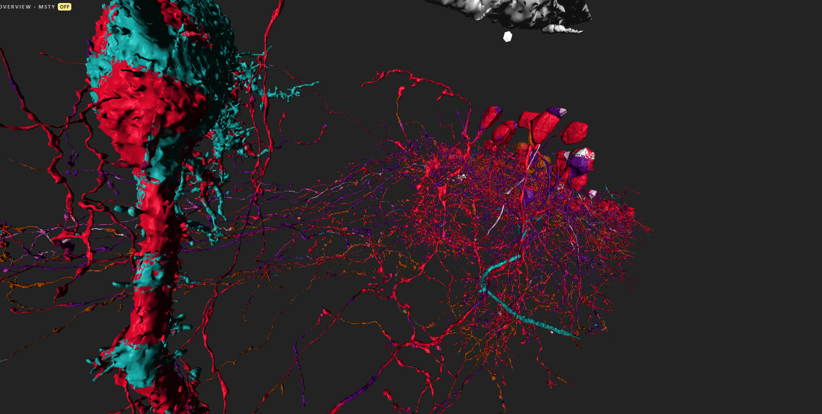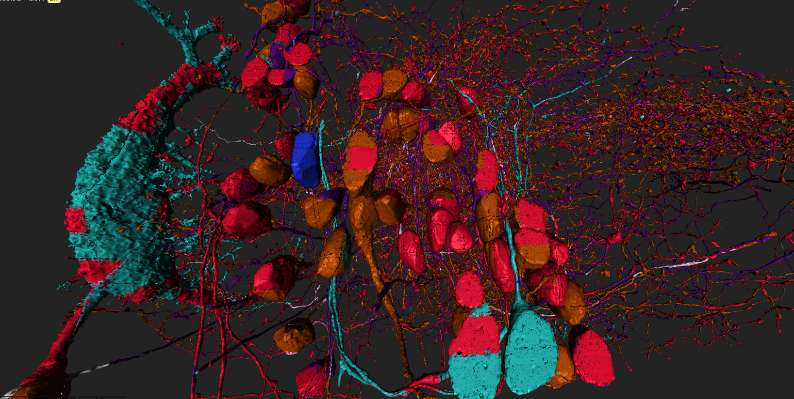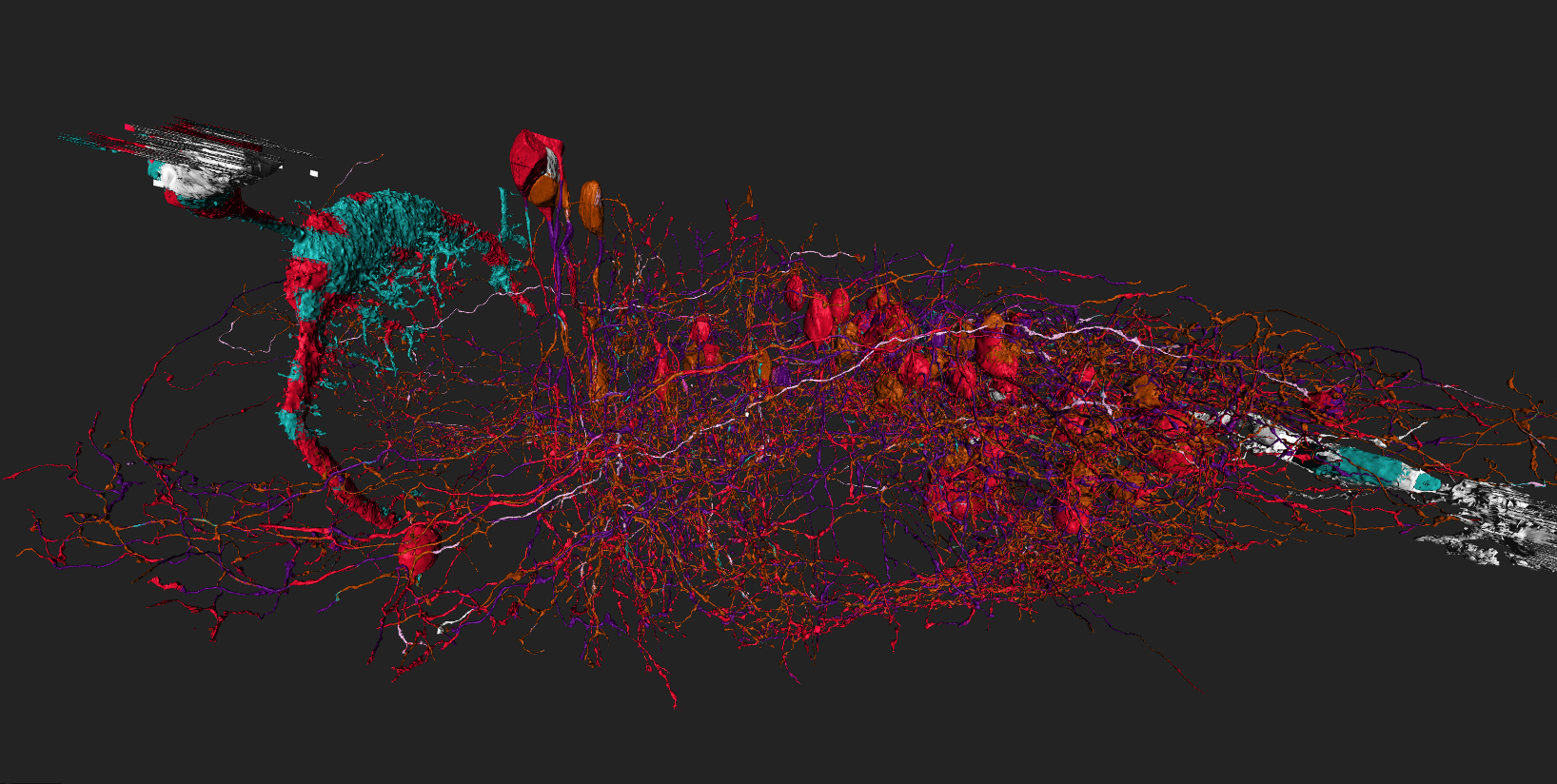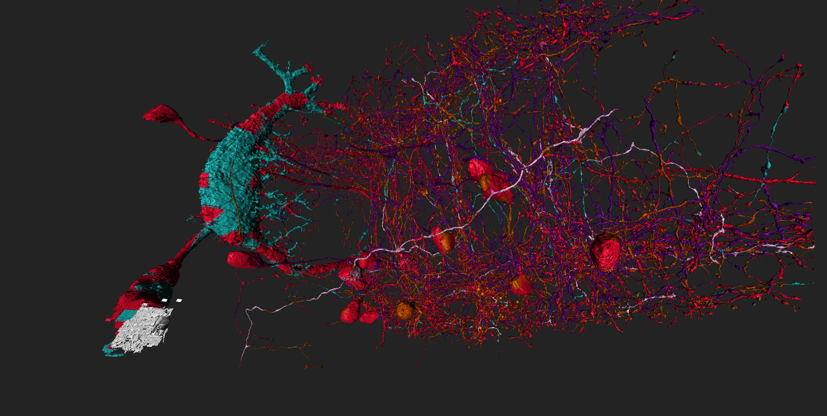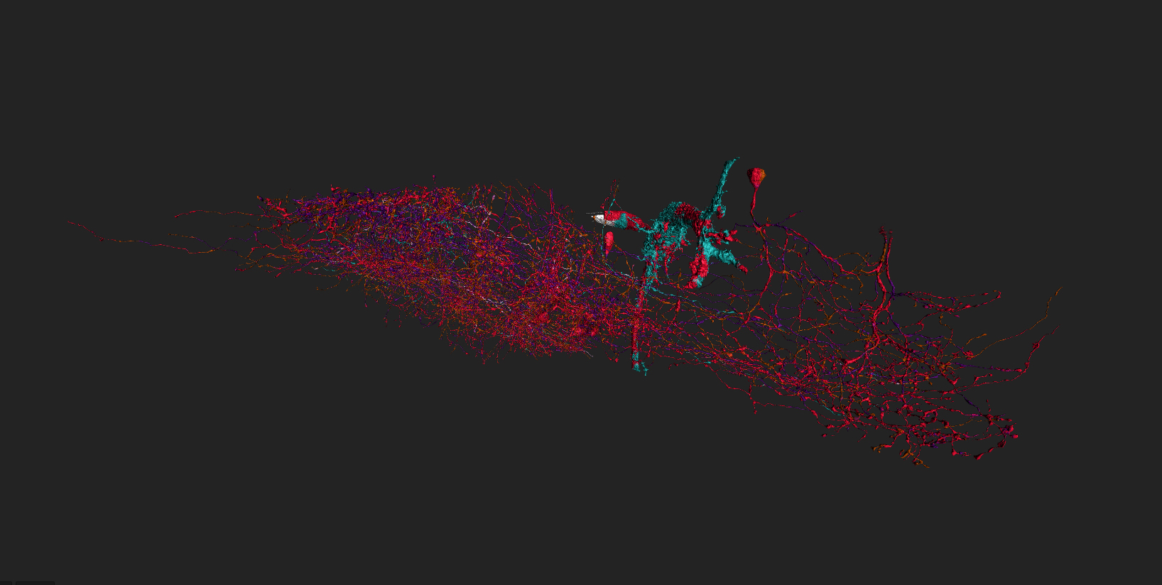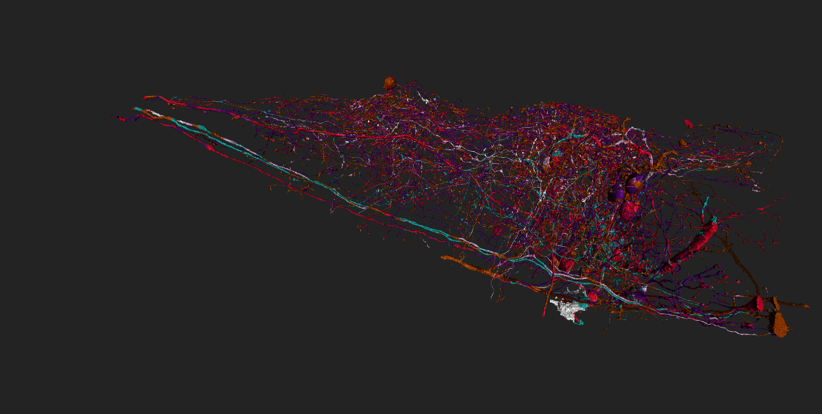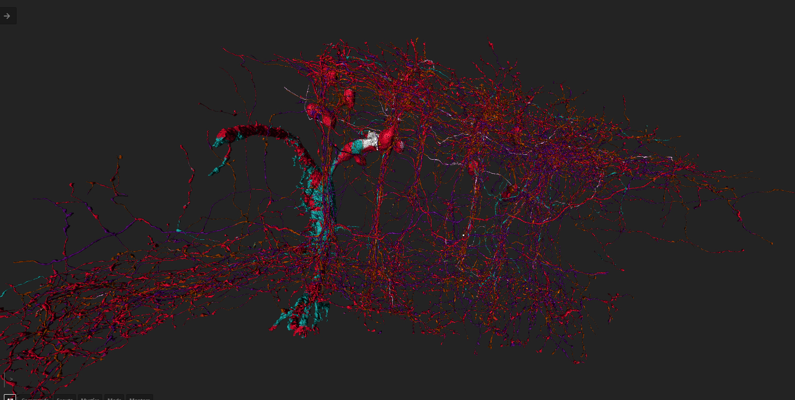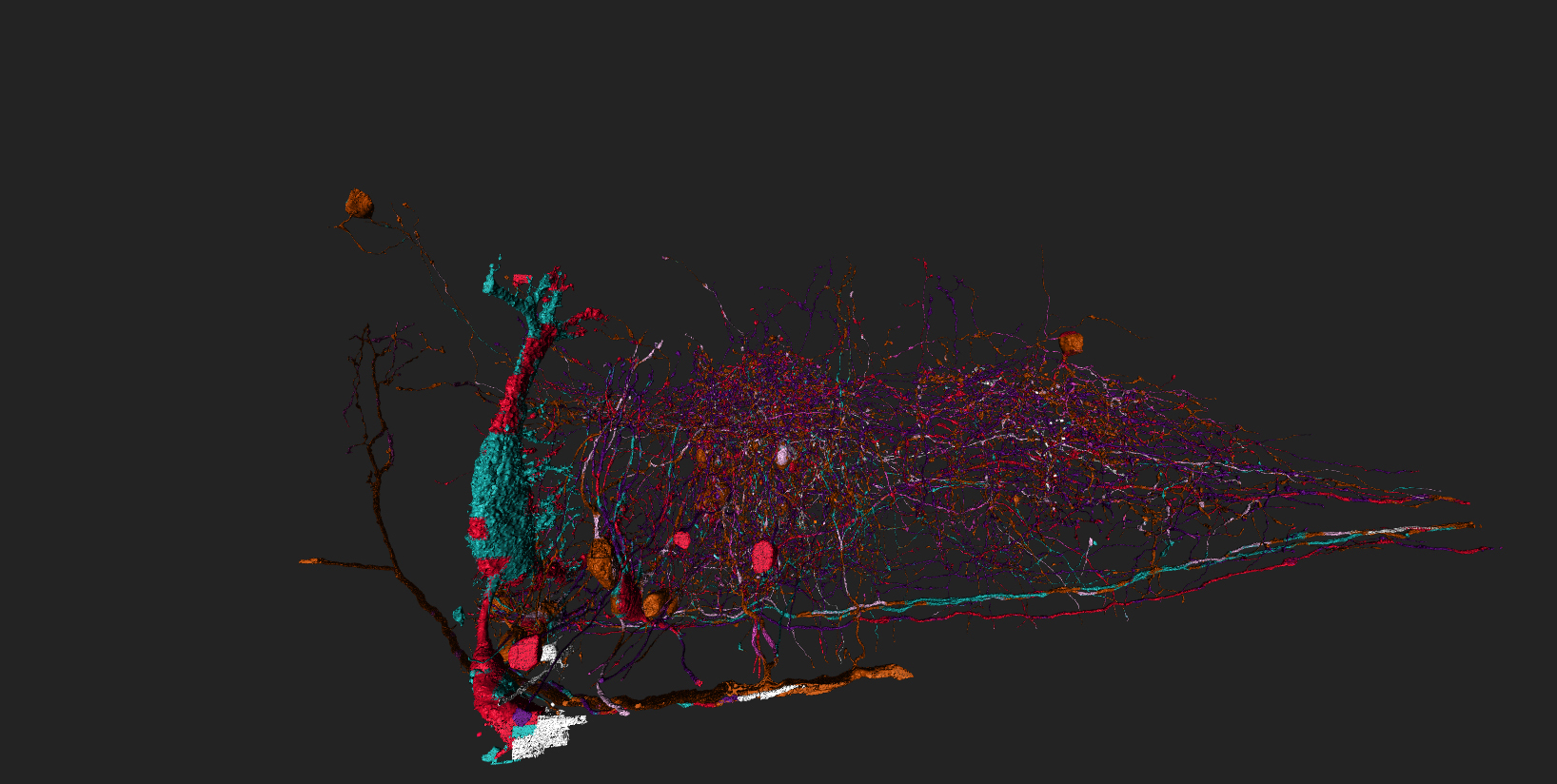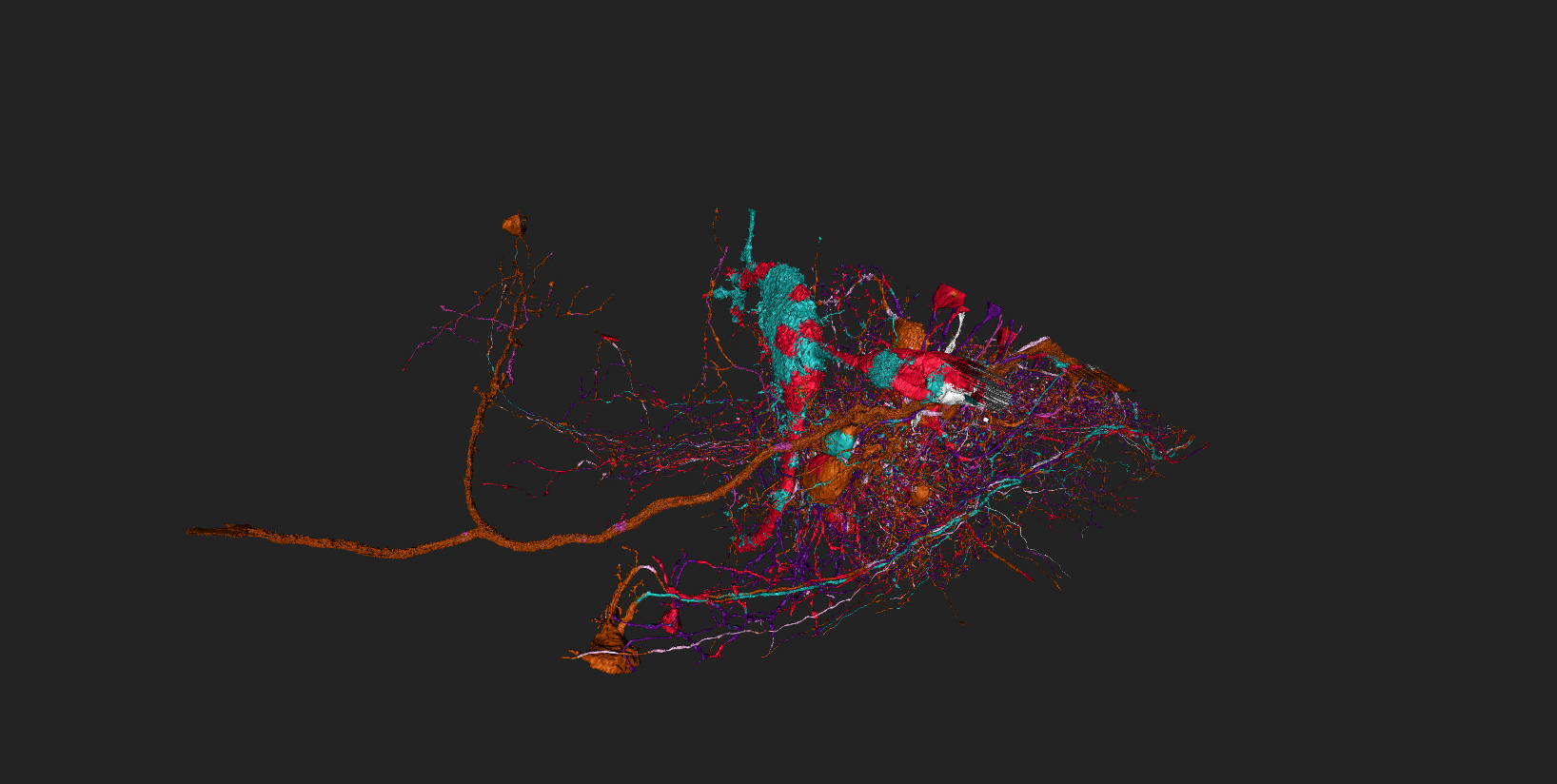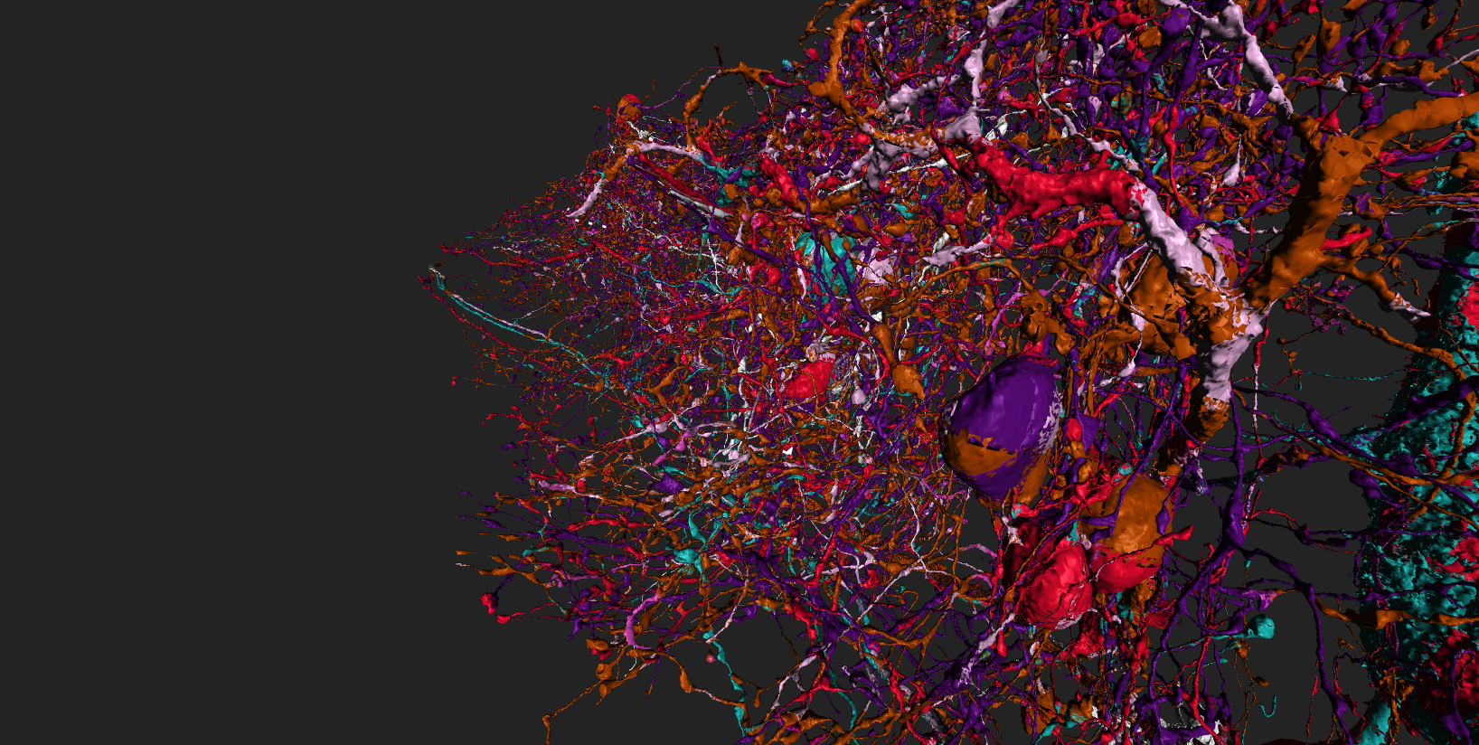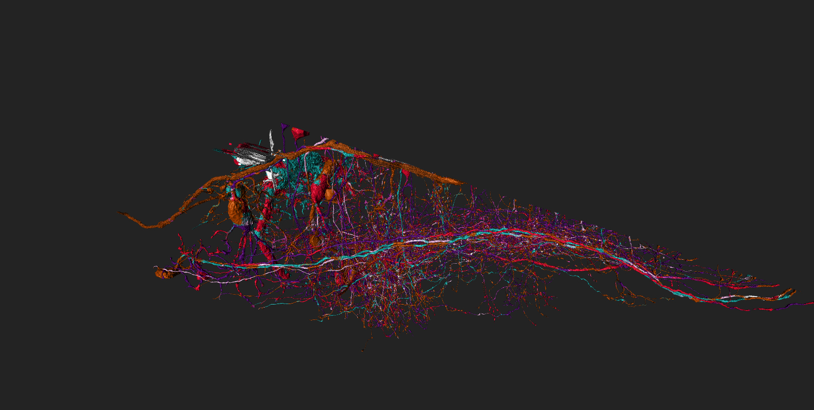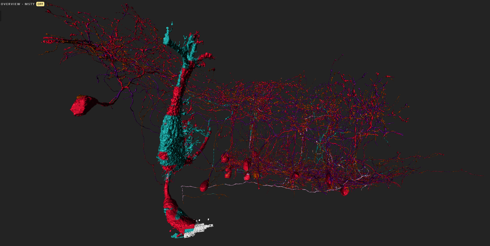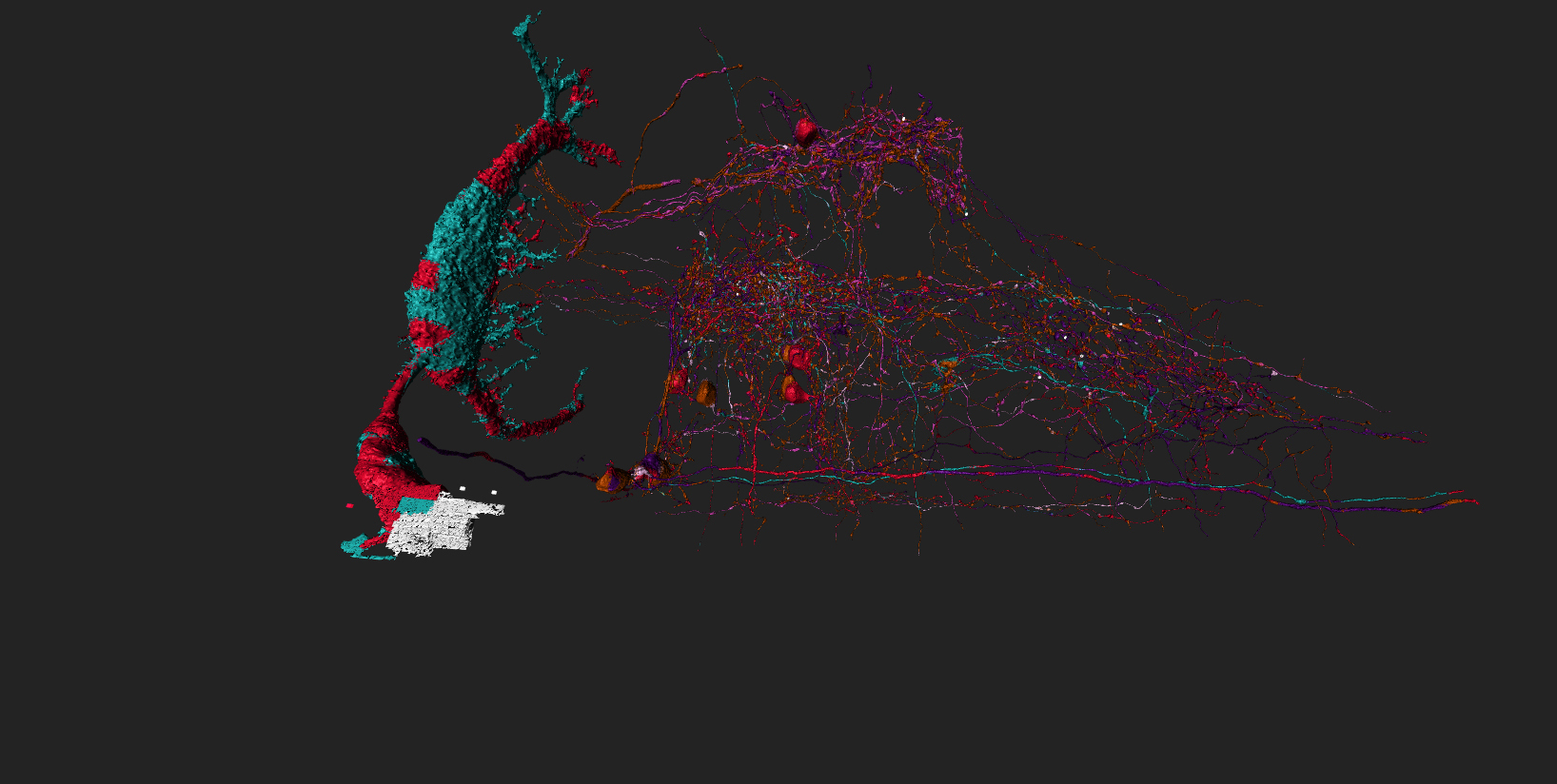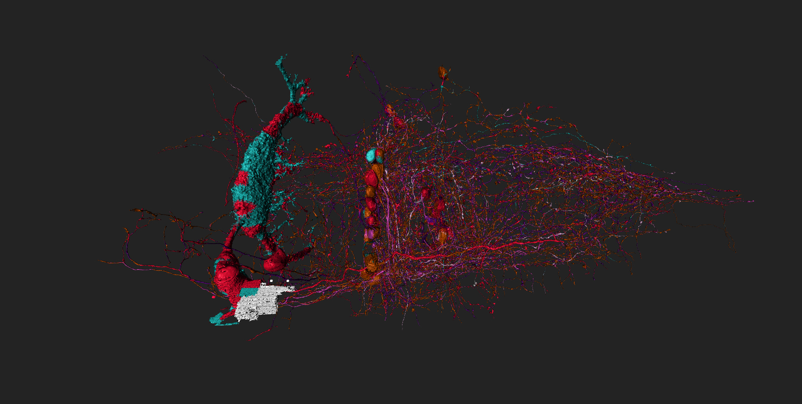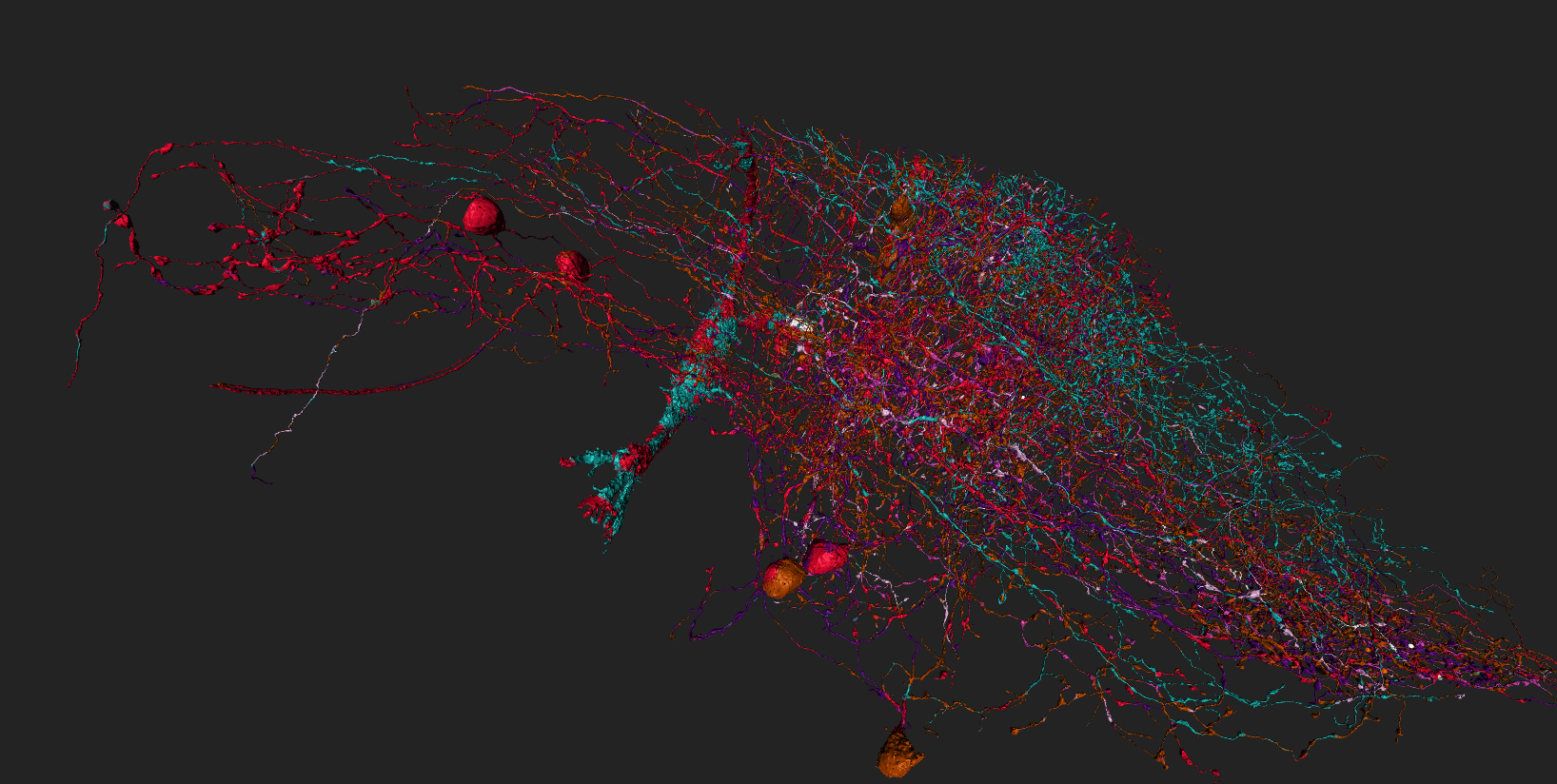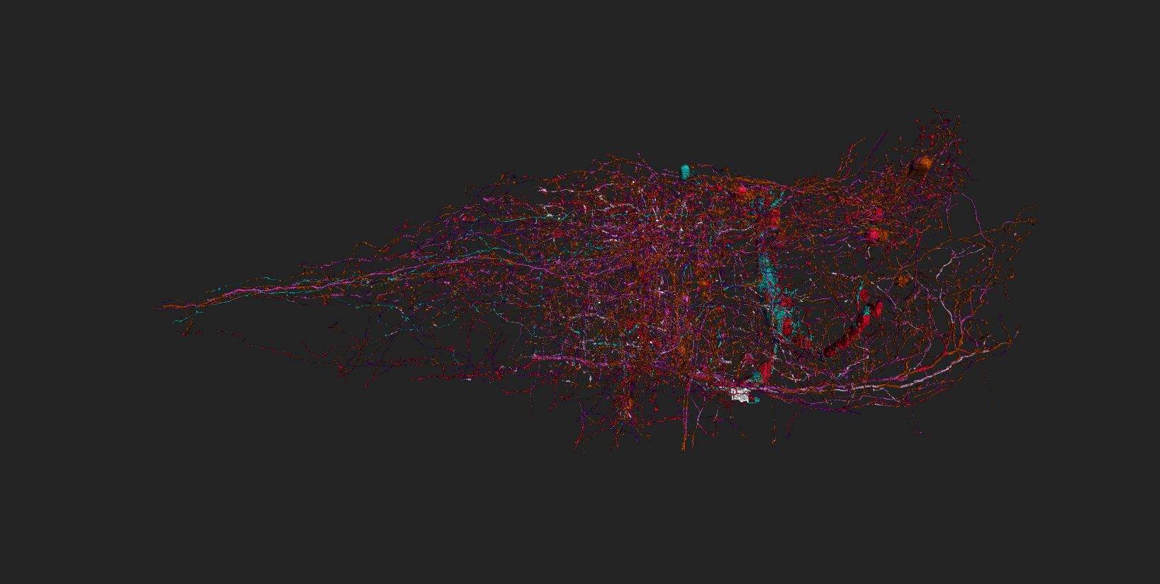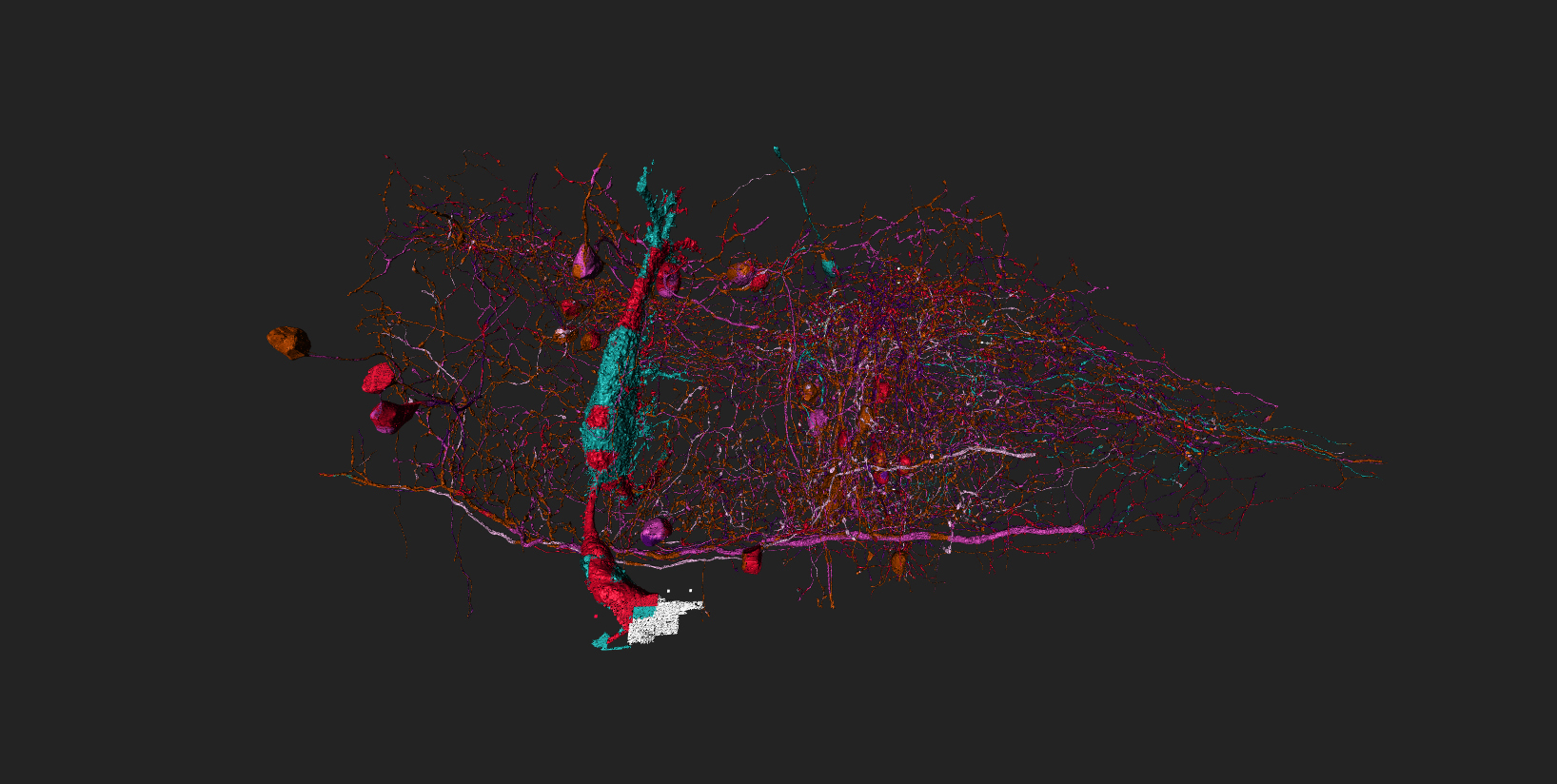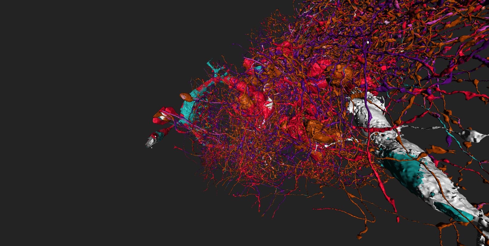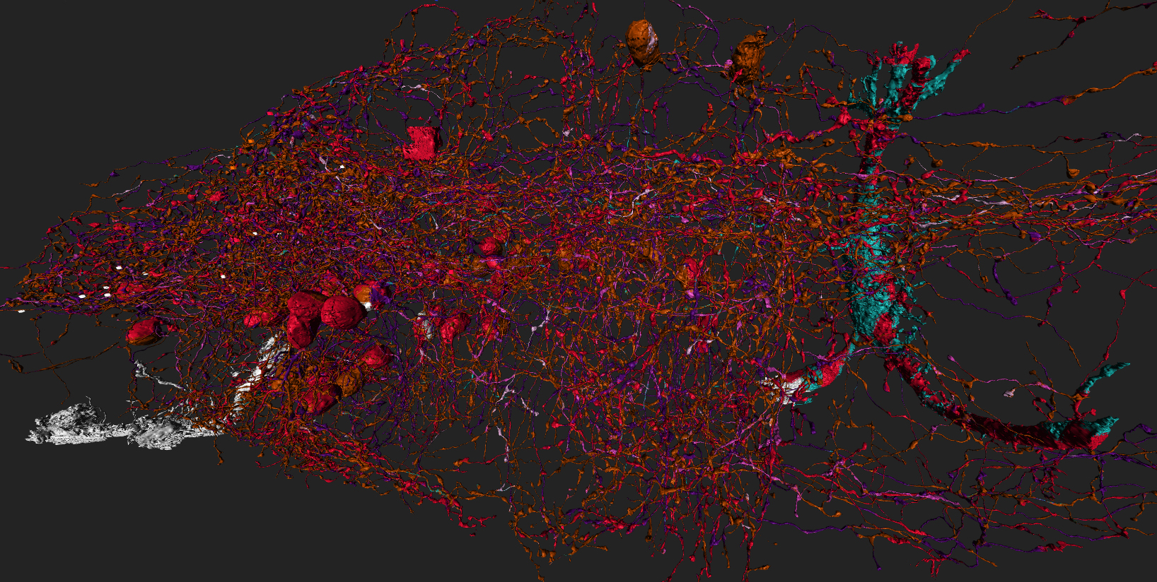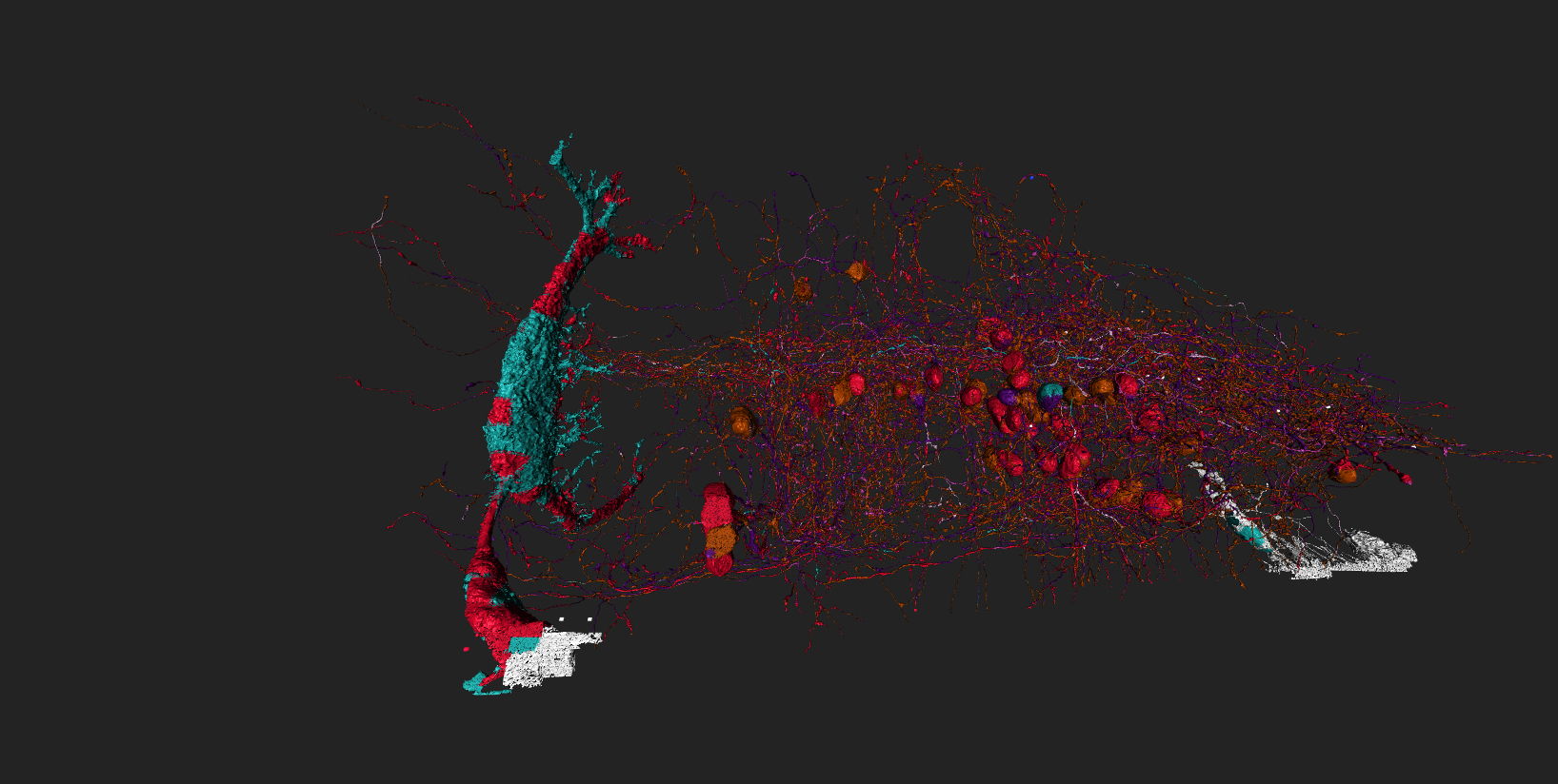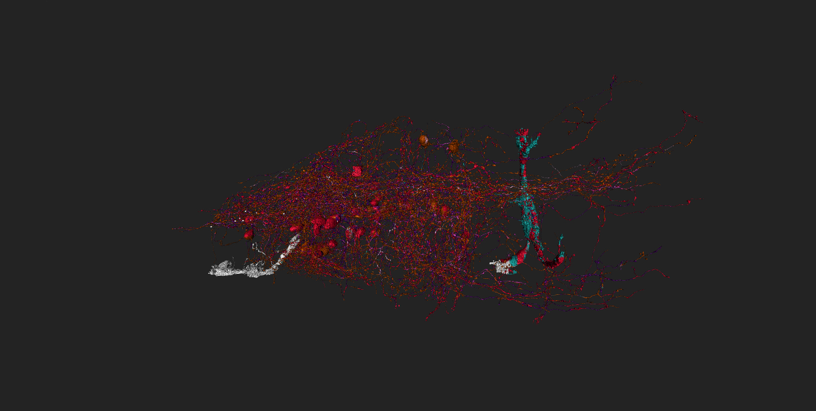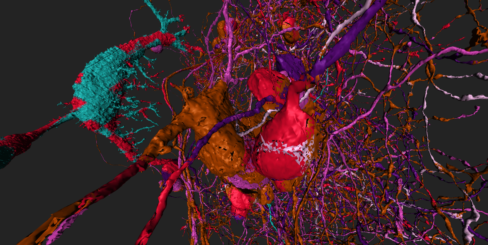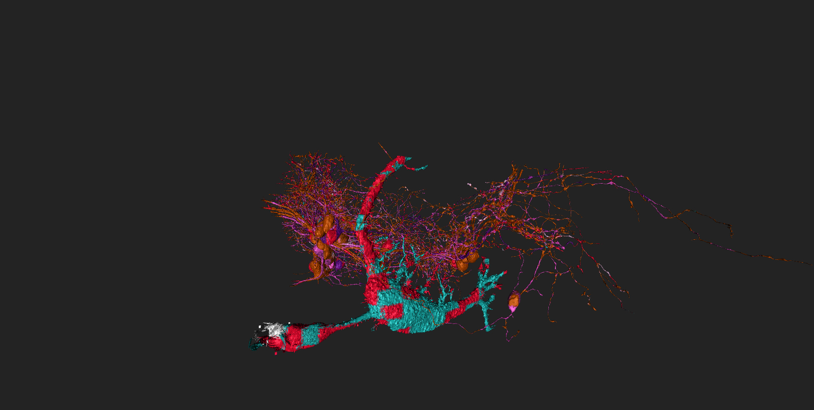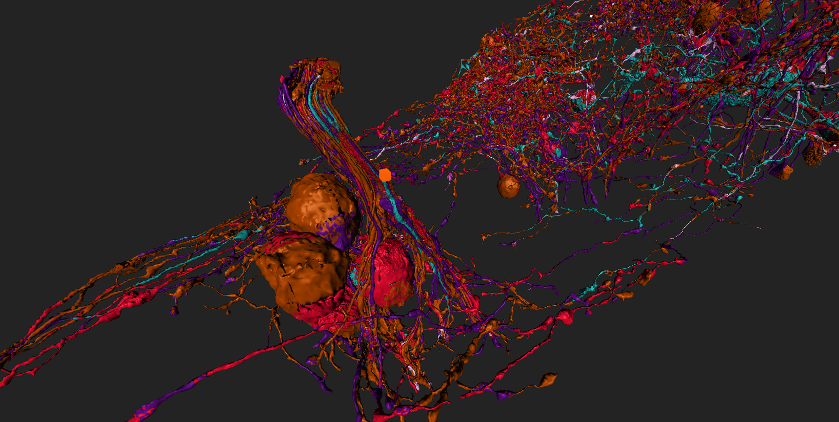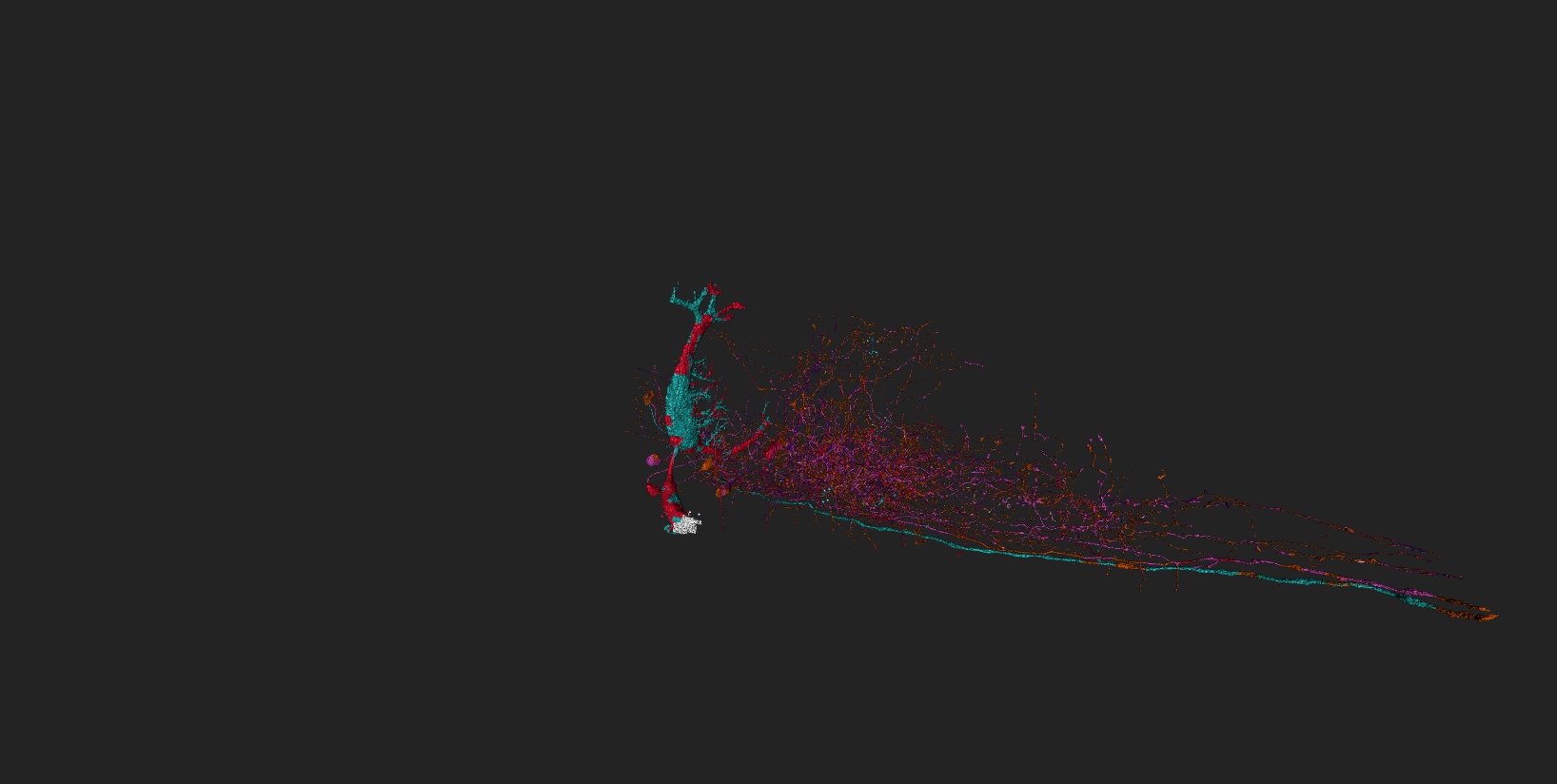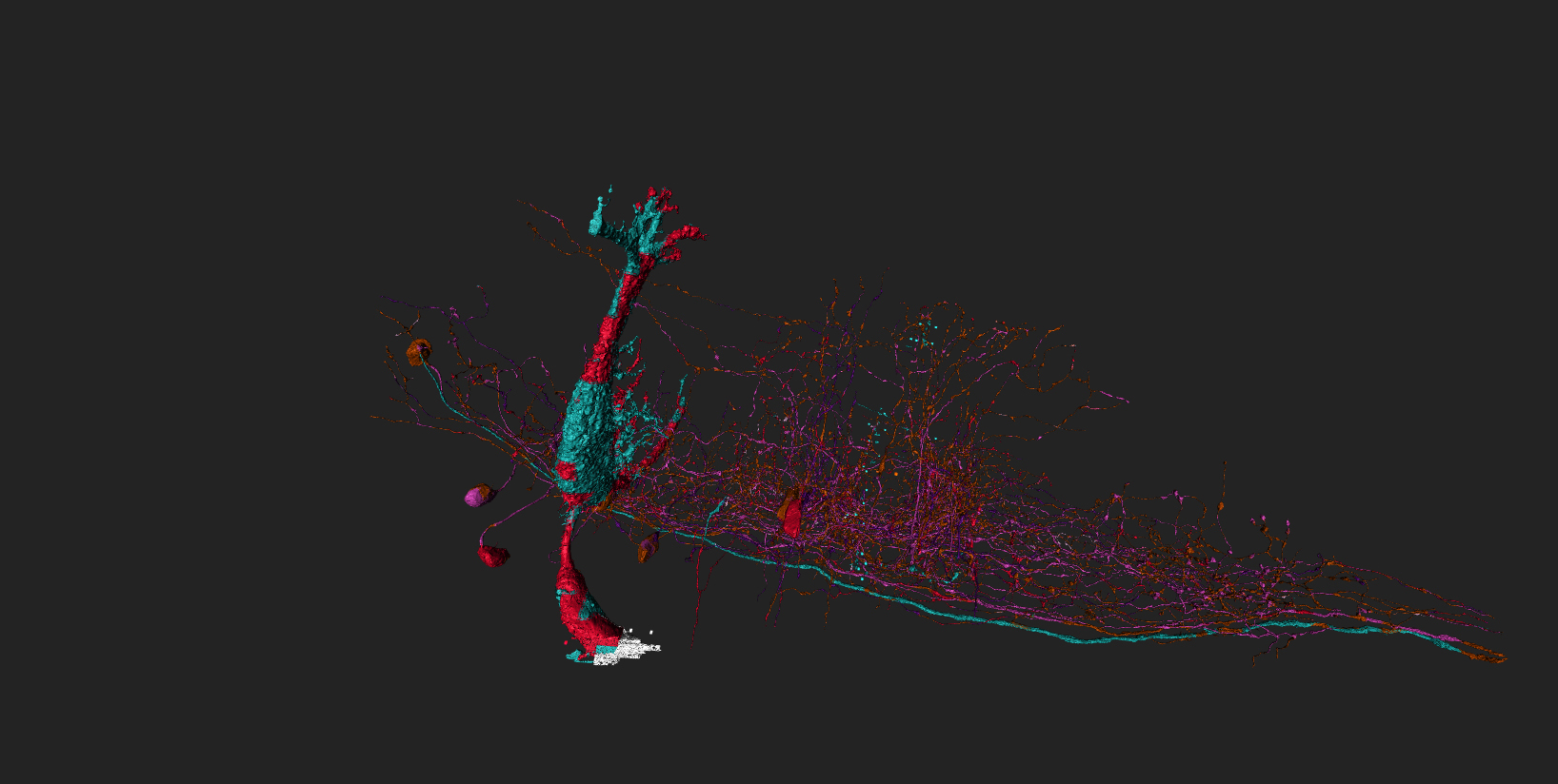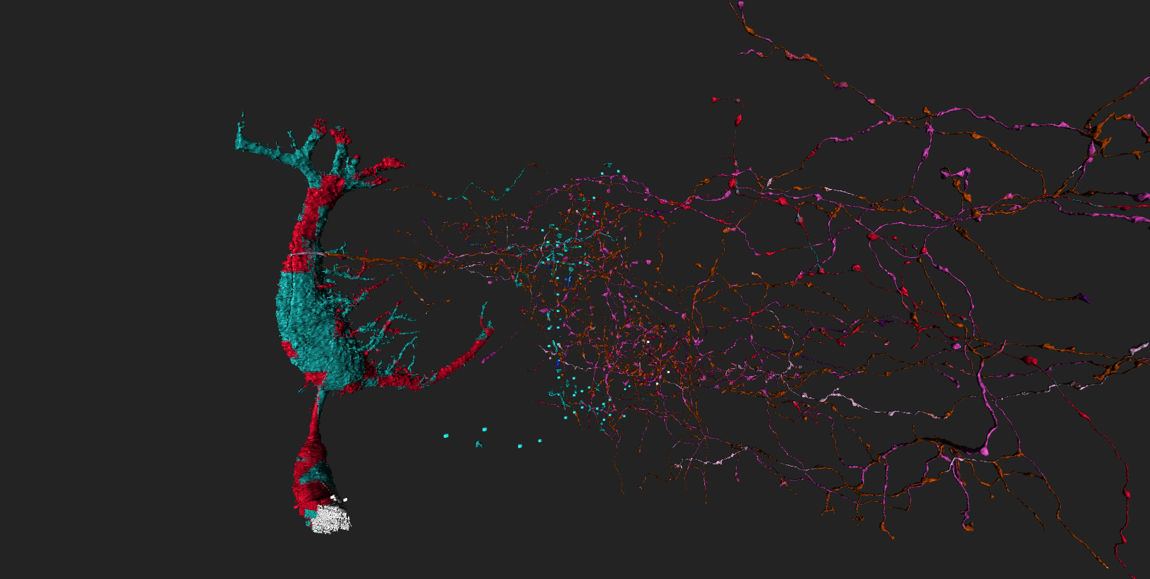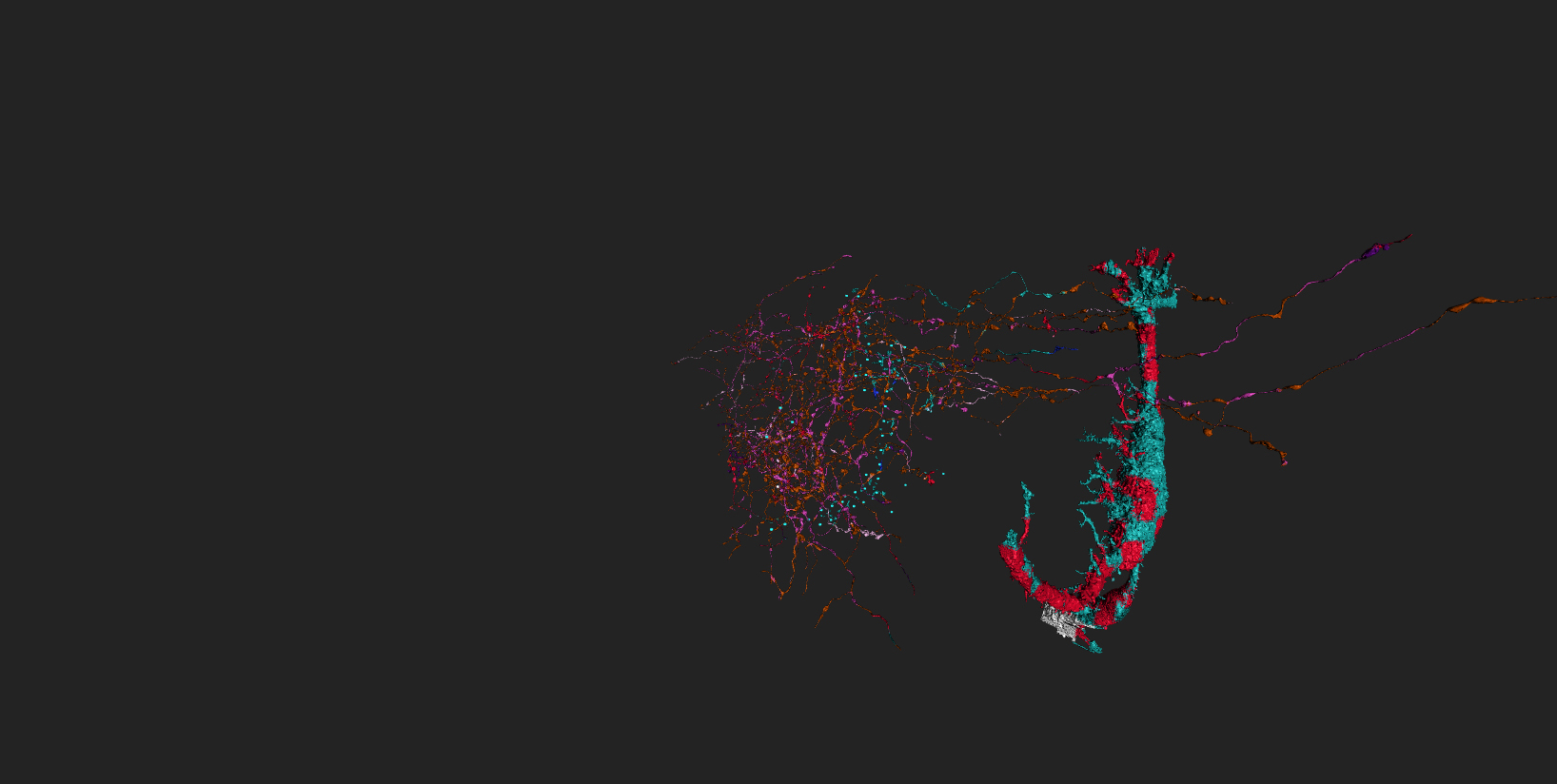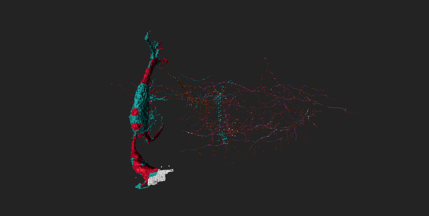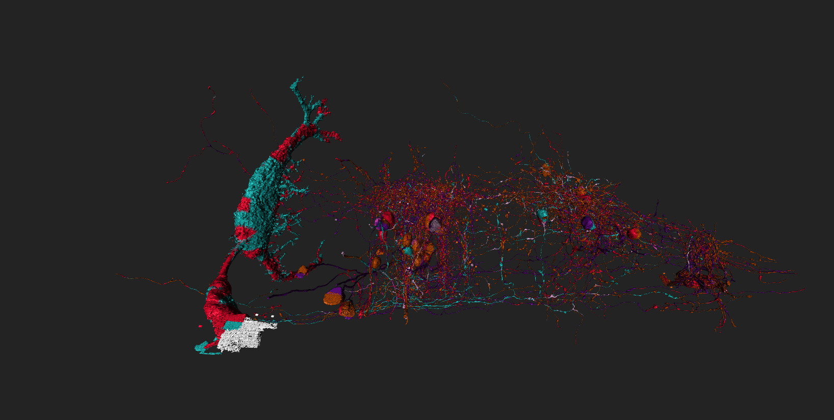
ok so here’s a side by side of the dataset image from “the dig” starting blog post showing the sectors and a mnay-cell’ed image containing 1 cell per sector (around middle/end of each sector) and the newest artifact 10.0 which M said she didn’t know sector it really belongs to lol, from the image I’d have to say it’s either on sector 14/15 or from the area of the dataset outside the sectors we’re not going to map. lol
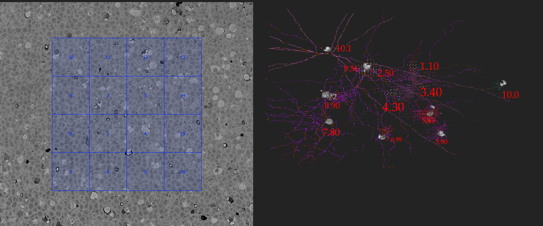
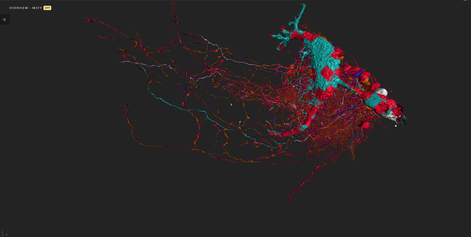
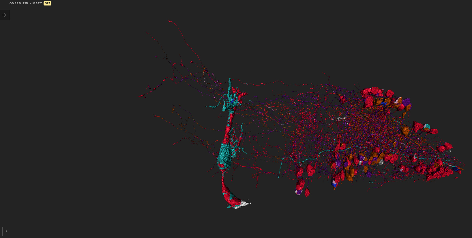
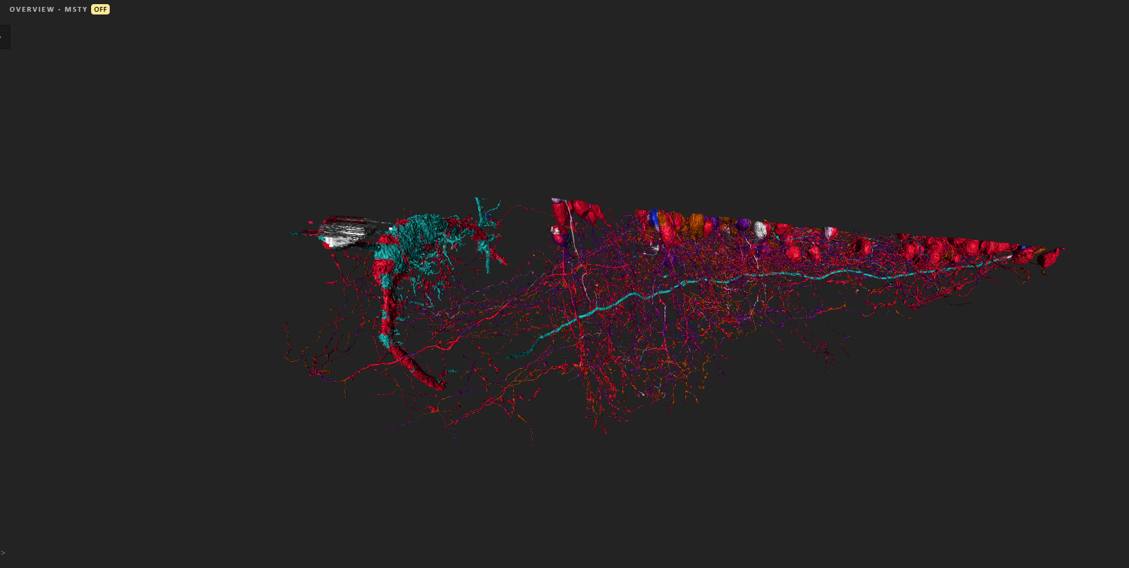
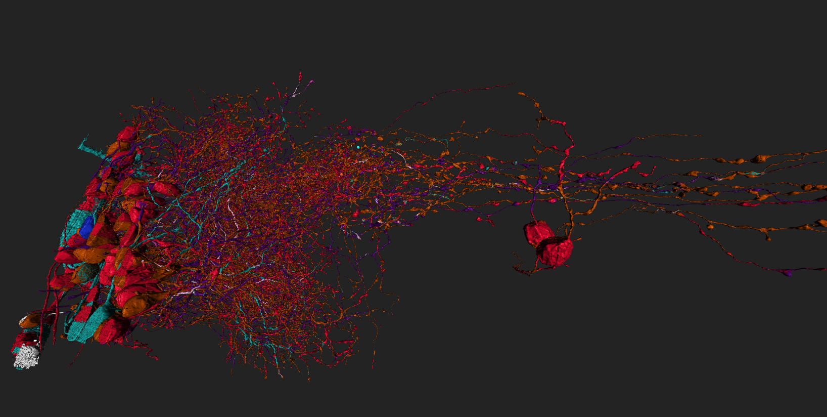
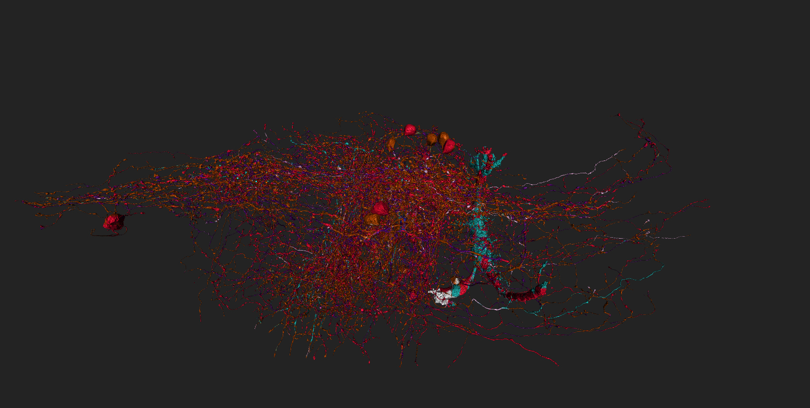
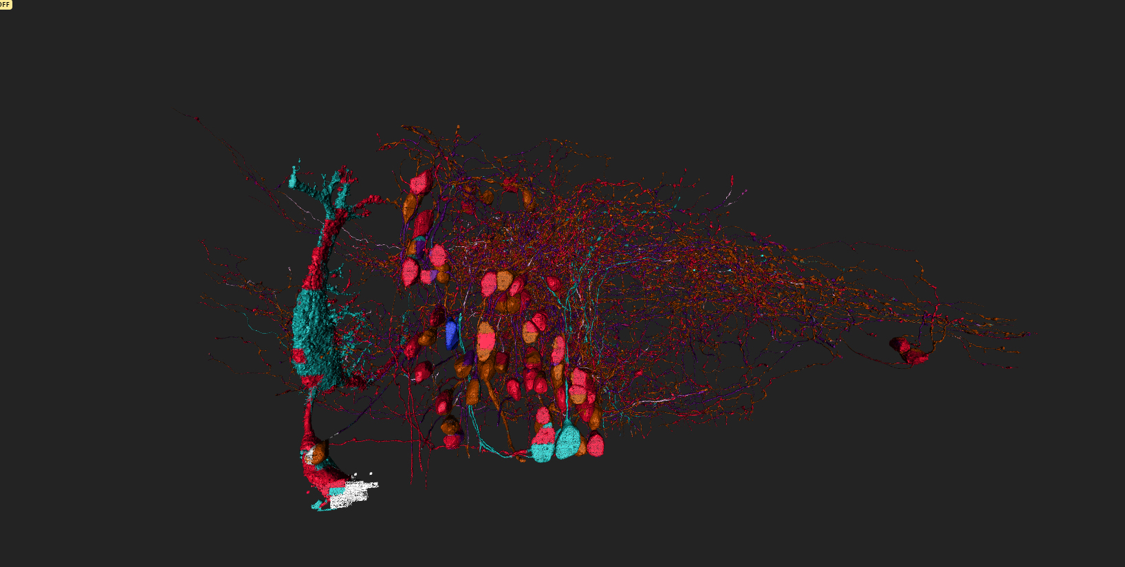
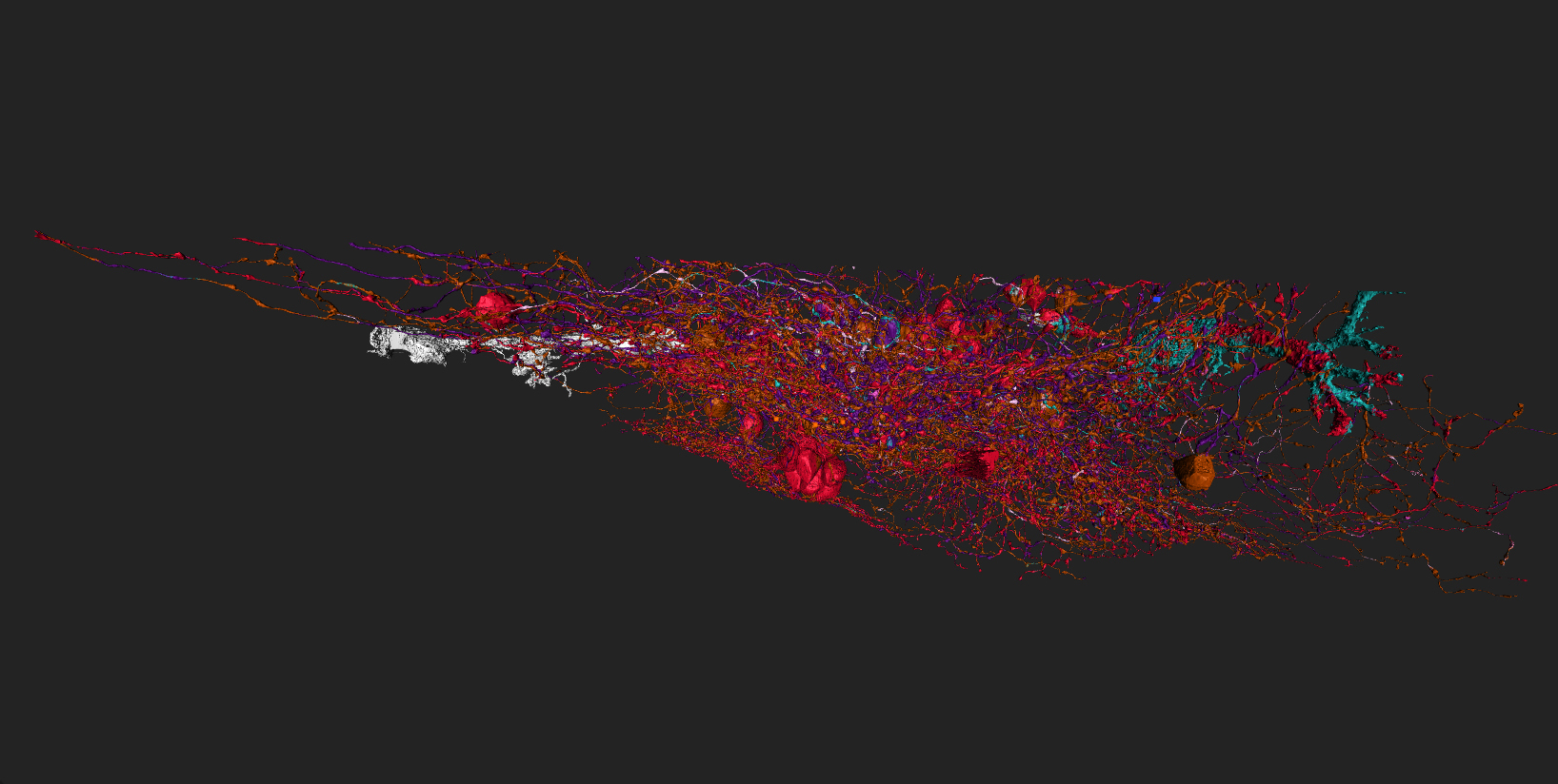
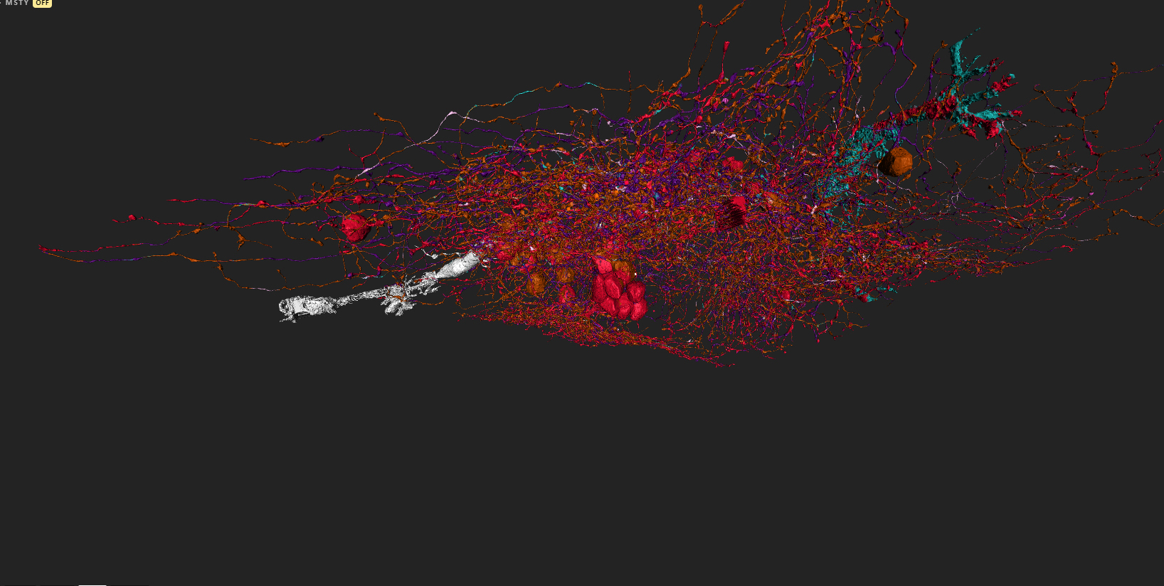
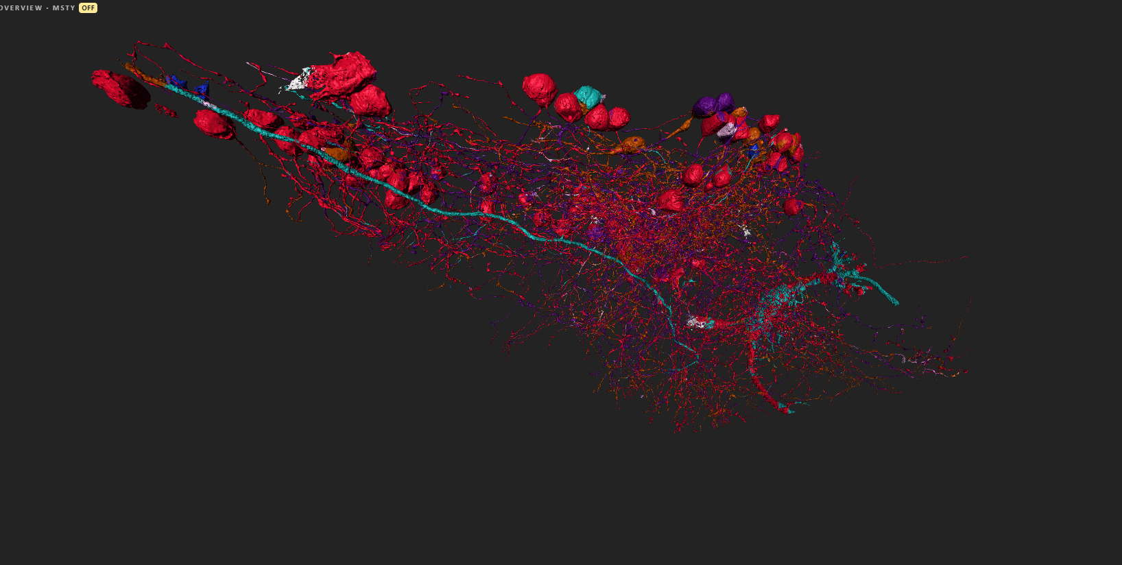
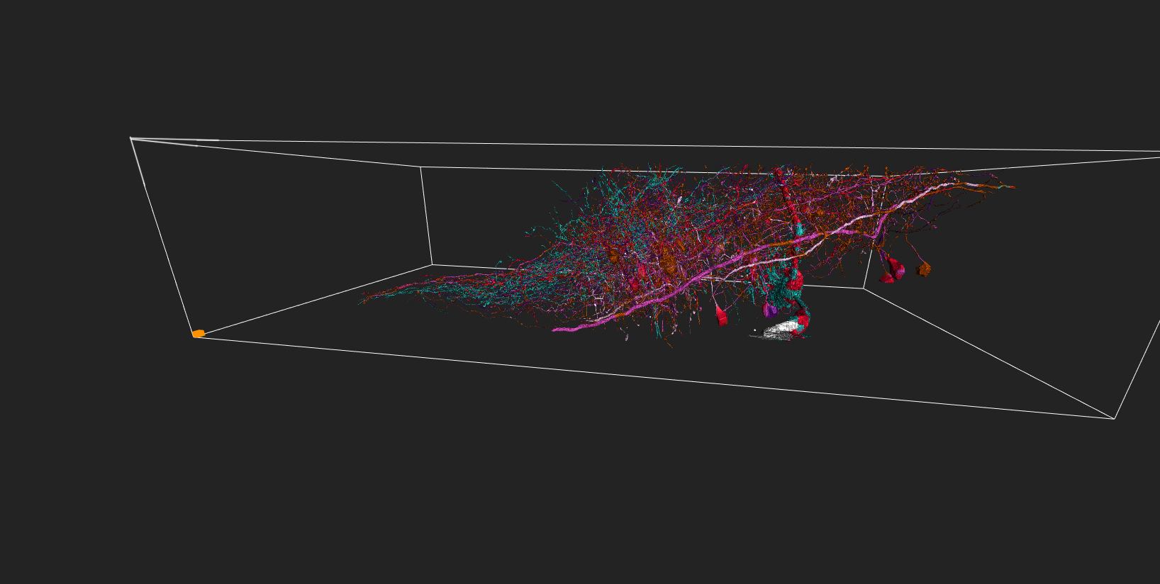
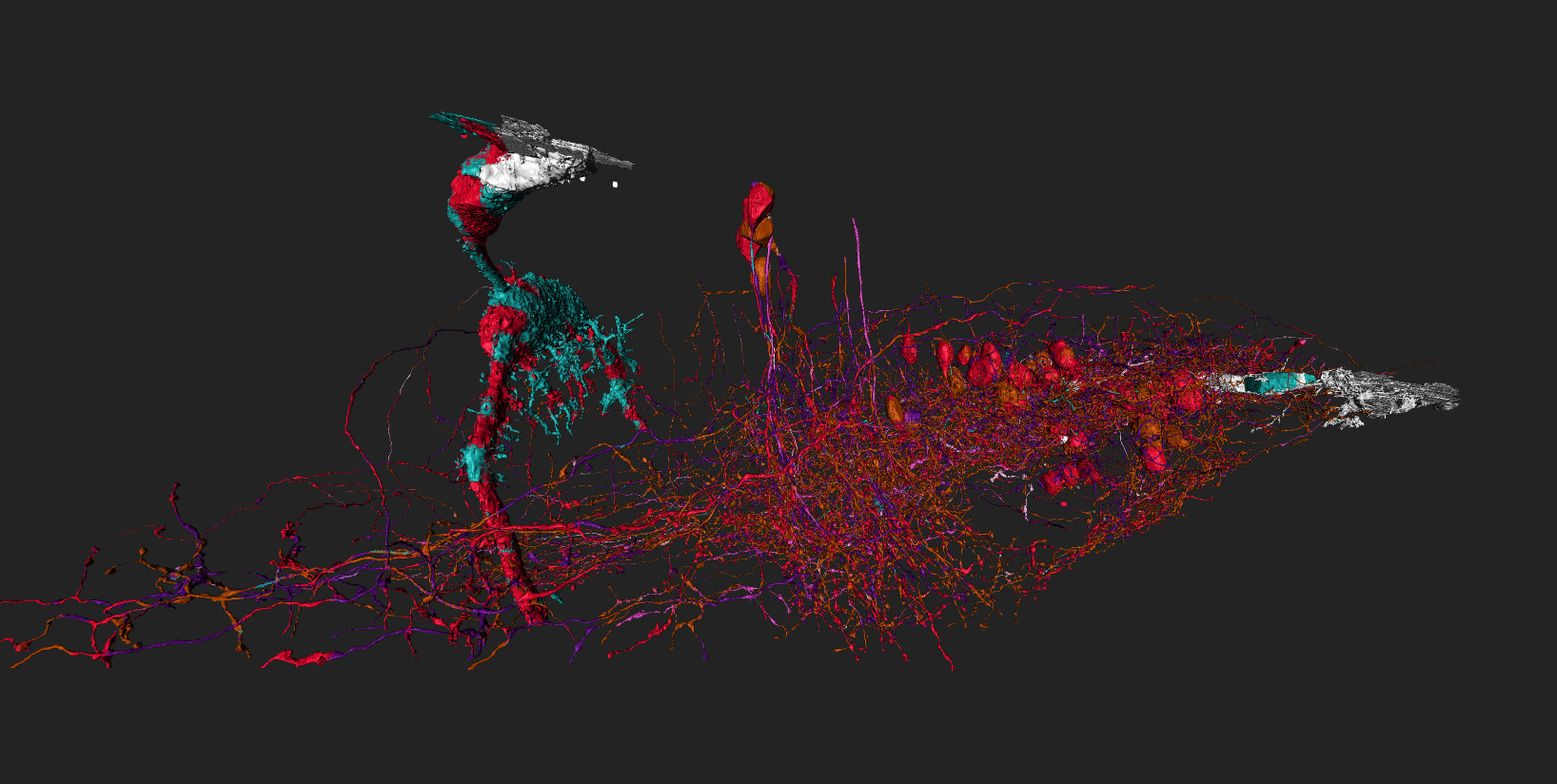
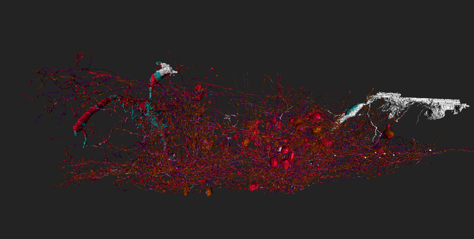
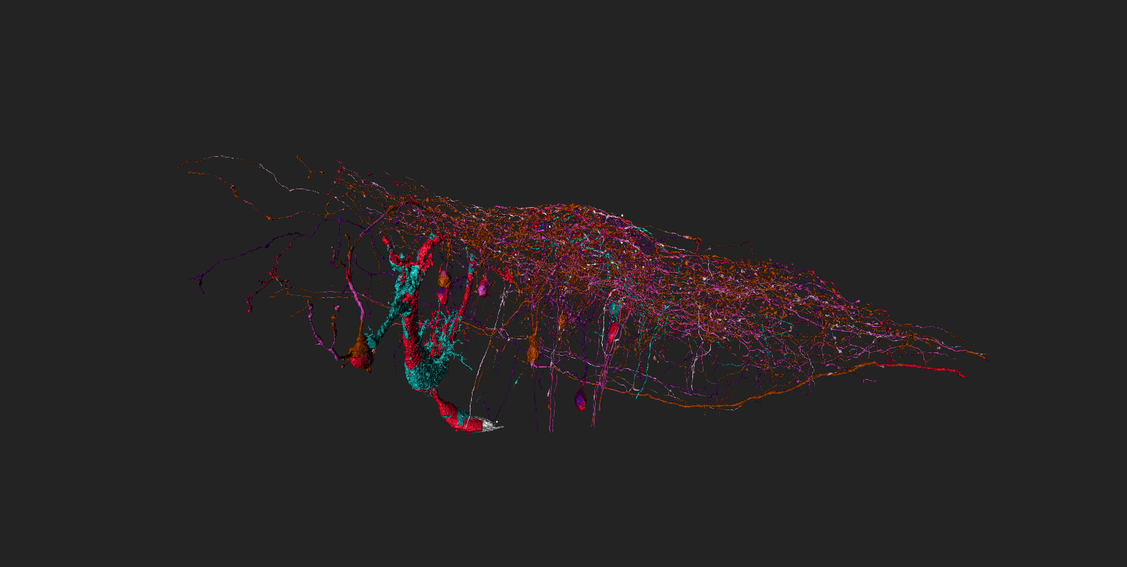
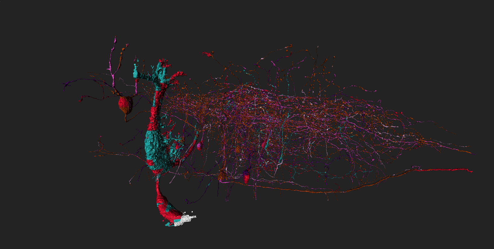
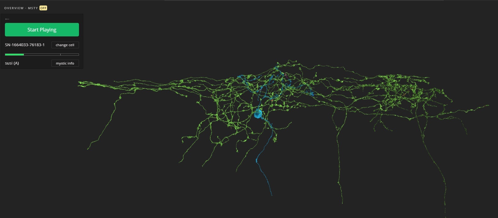
I arranged overview so that each cell in it “falls” in the corresponding area in dataset pic.
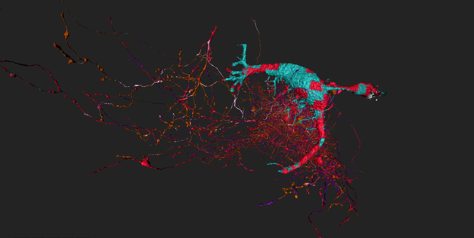
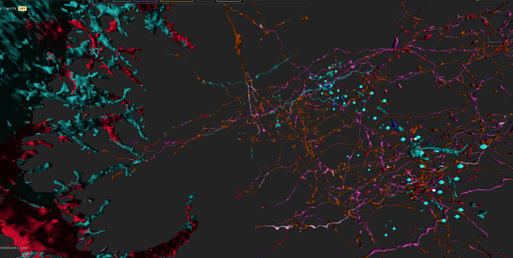
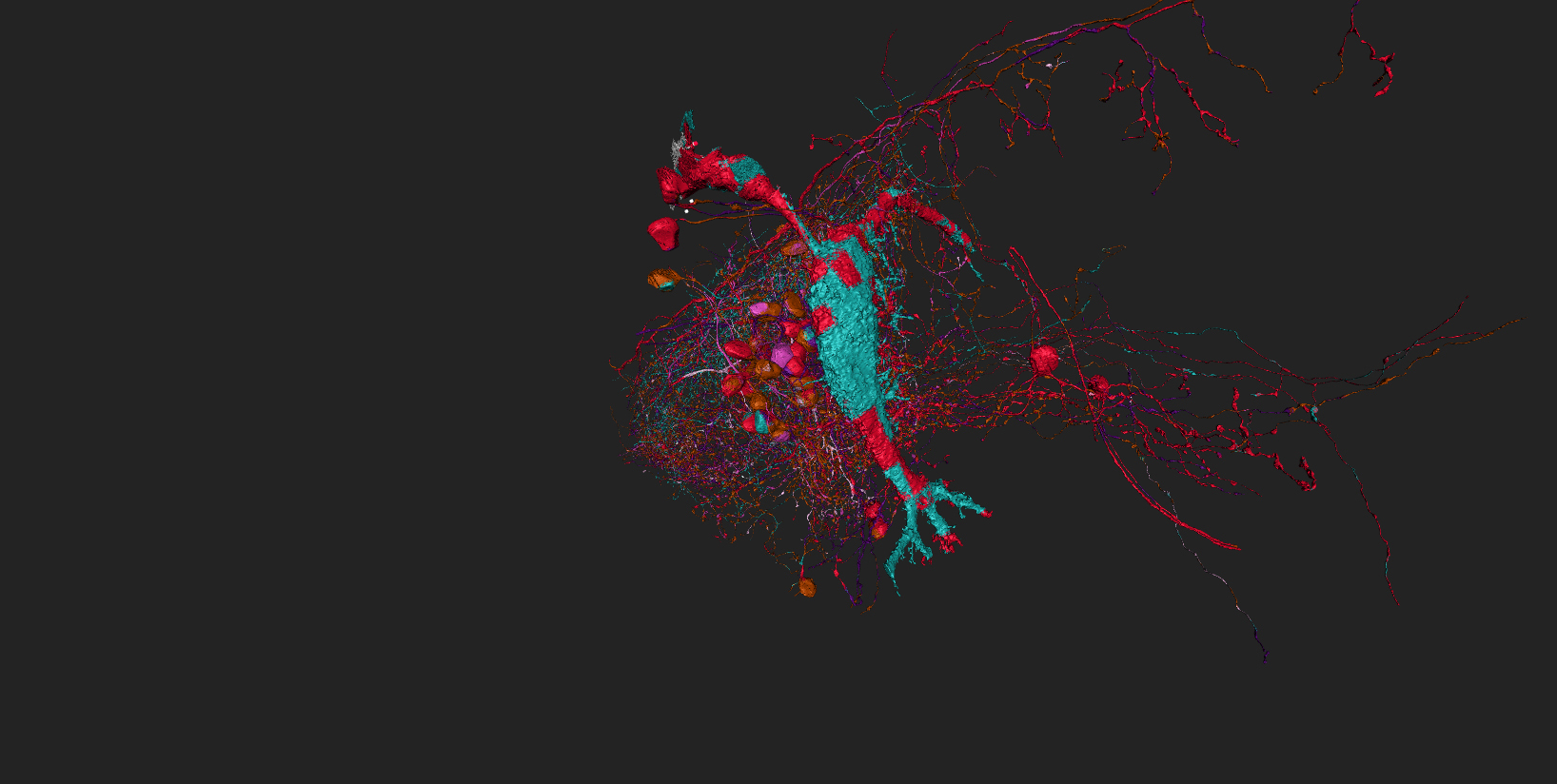
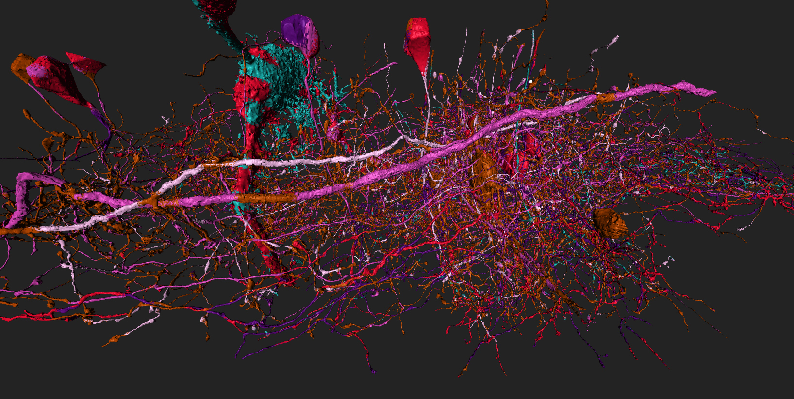
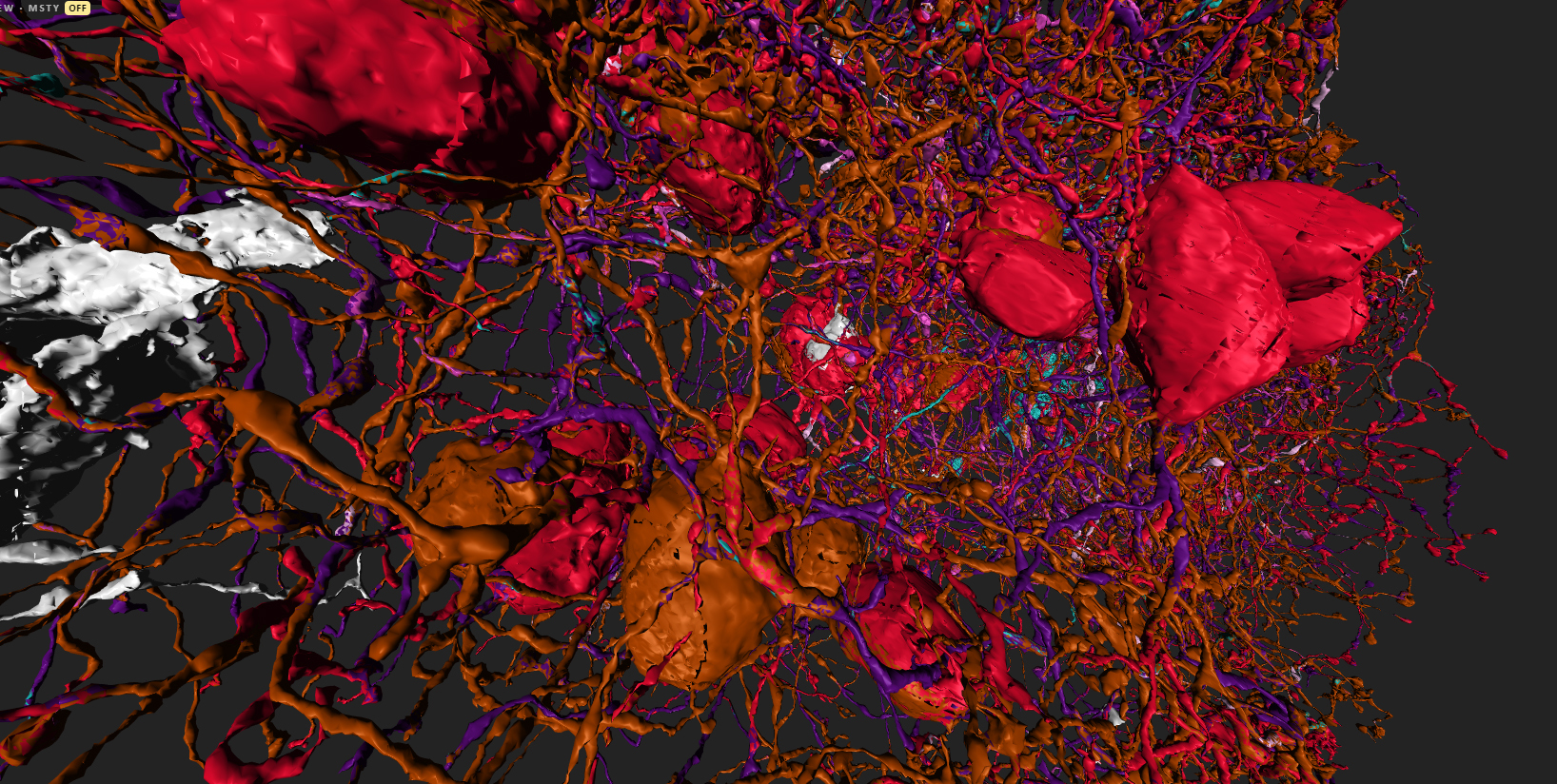
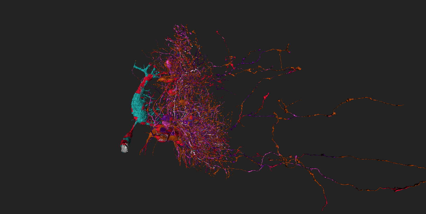
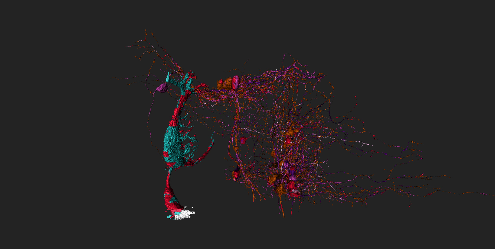
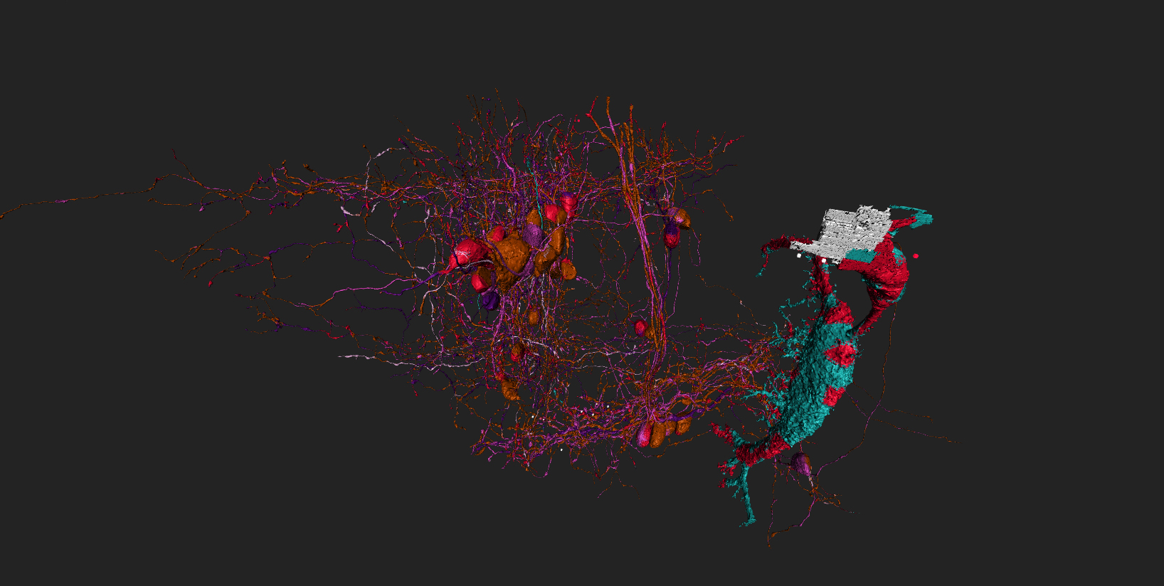
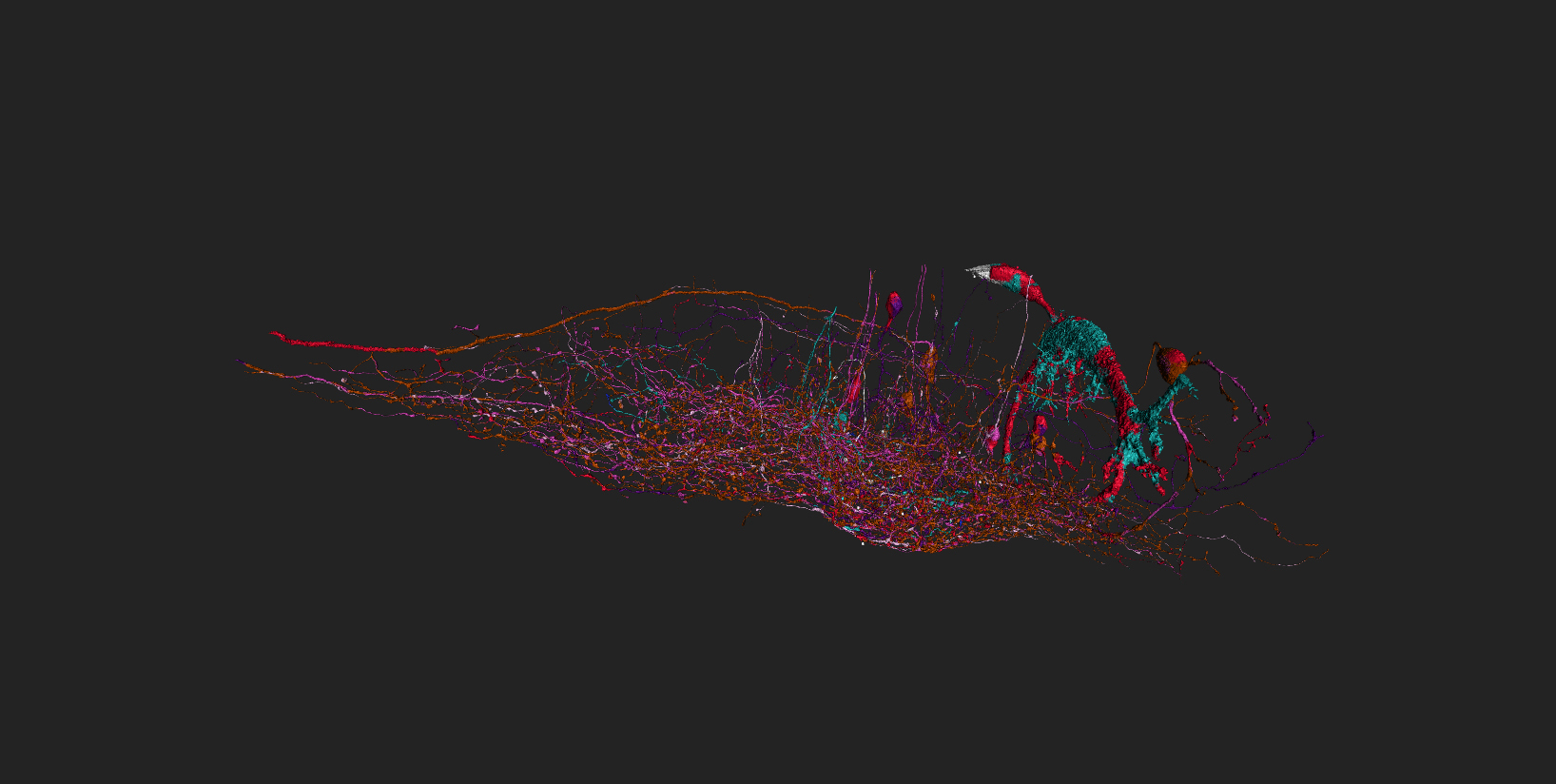
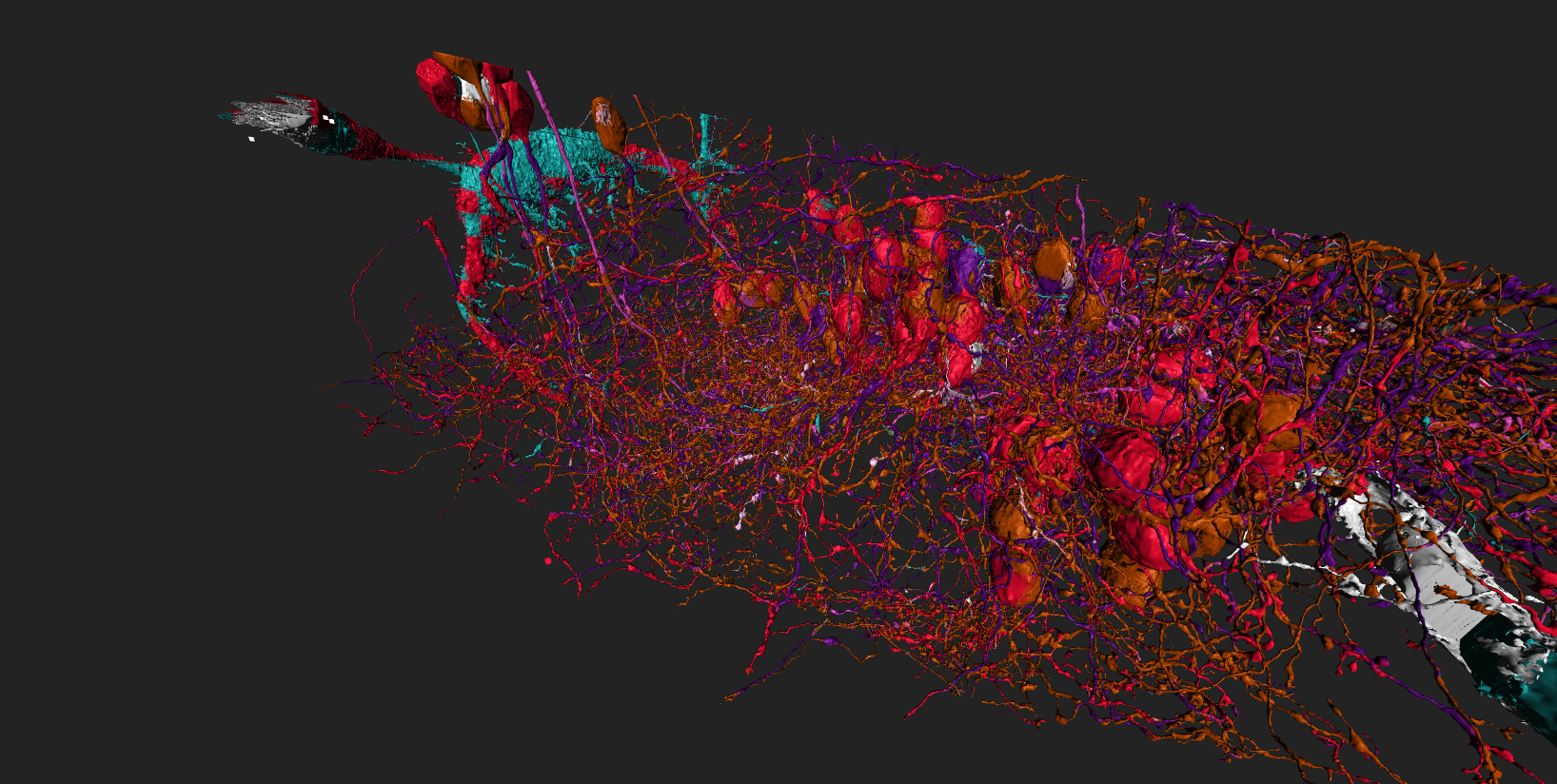
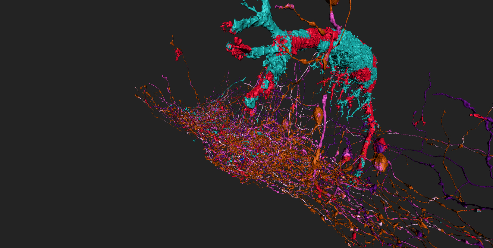
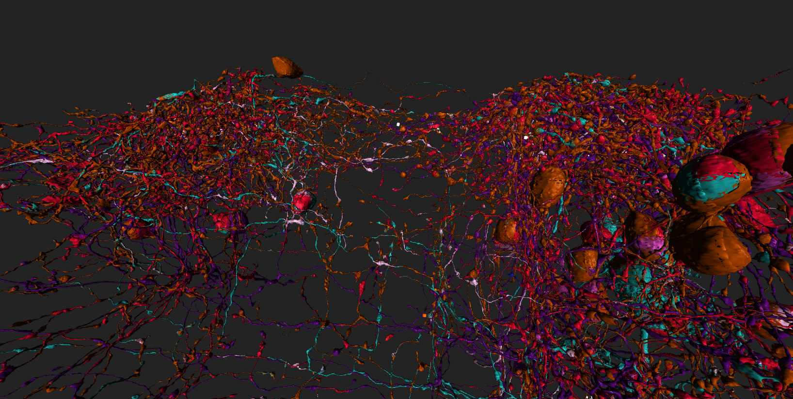
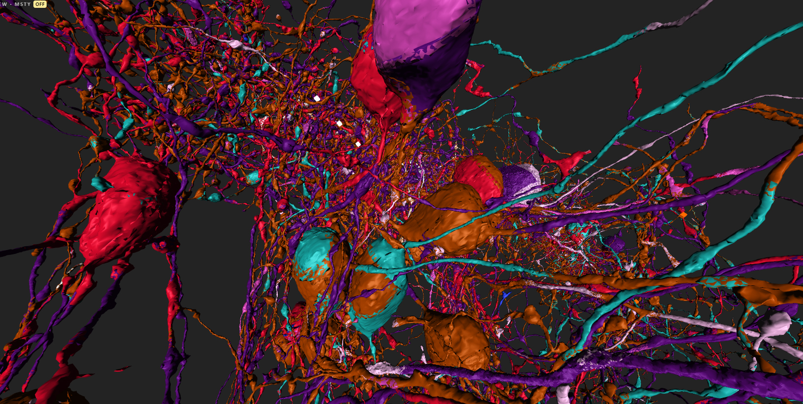
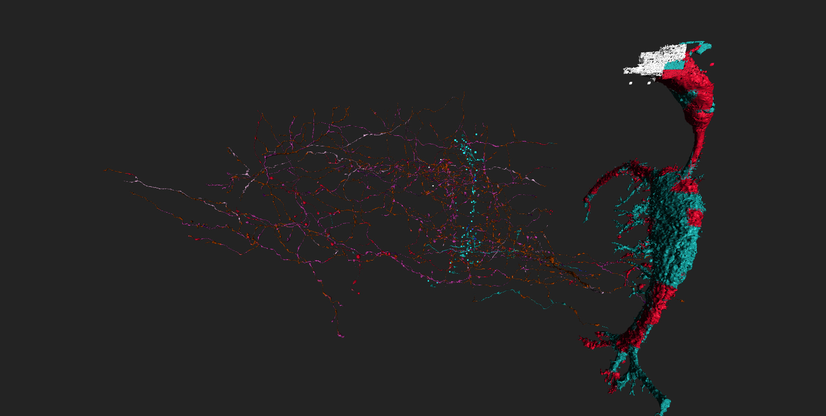
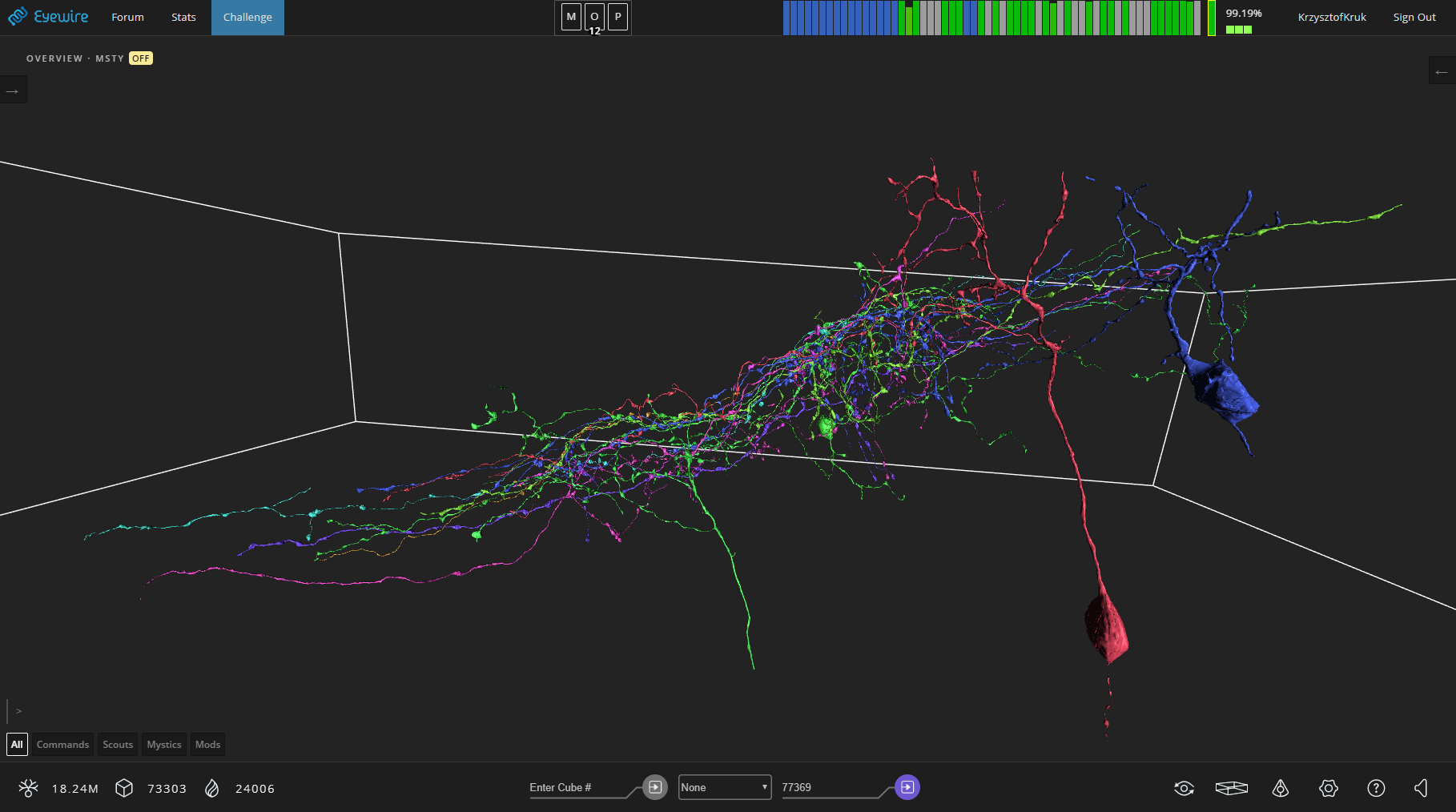
oh and sector 1-3 cells are not meshed so “cubes”. lol